Post #25 Weather

I’m starting this post with a great big THANK YOU for all the encouraging comments you readers have been giving me. Part of the reason I wanted to thru hike the AT and do something that many think is impossible is to gain more self-confidence. Writing is something that I’m not very confident in doing. But many of you have been so lavish with your comments encouraging me to not only continue hiking, but to also continue writing. So I thank you for making it fun to document my hike.

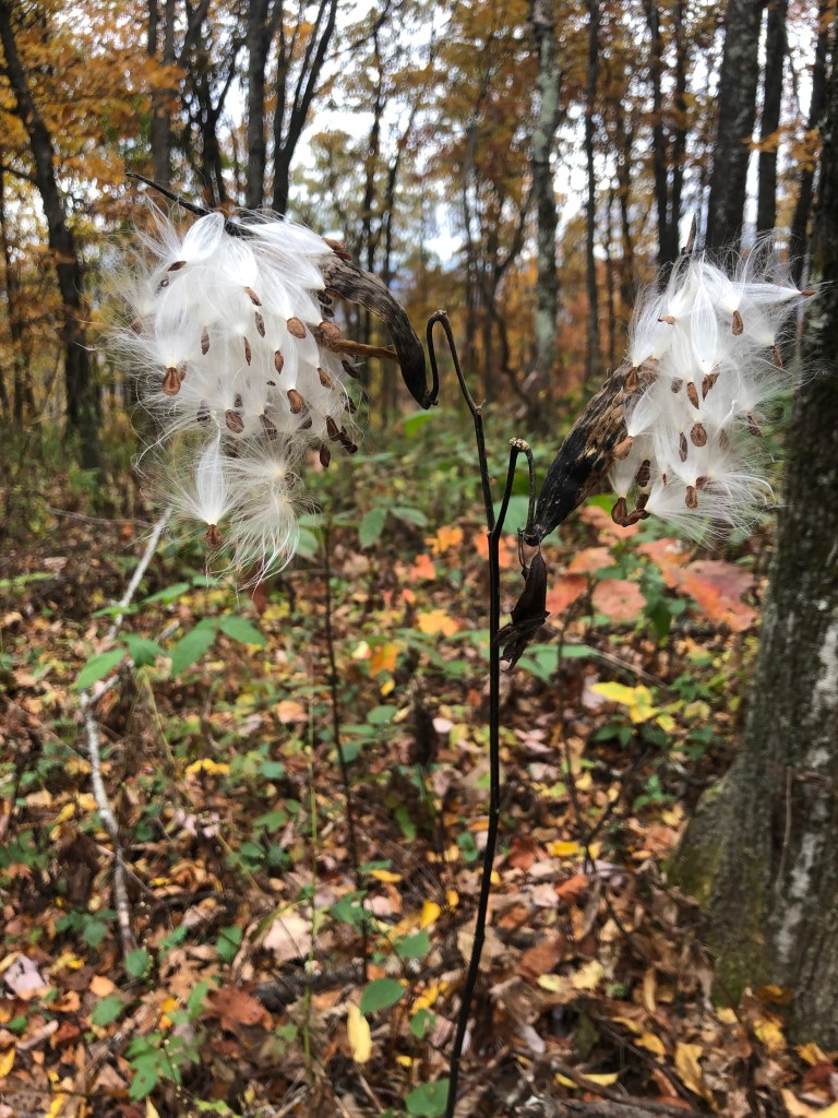
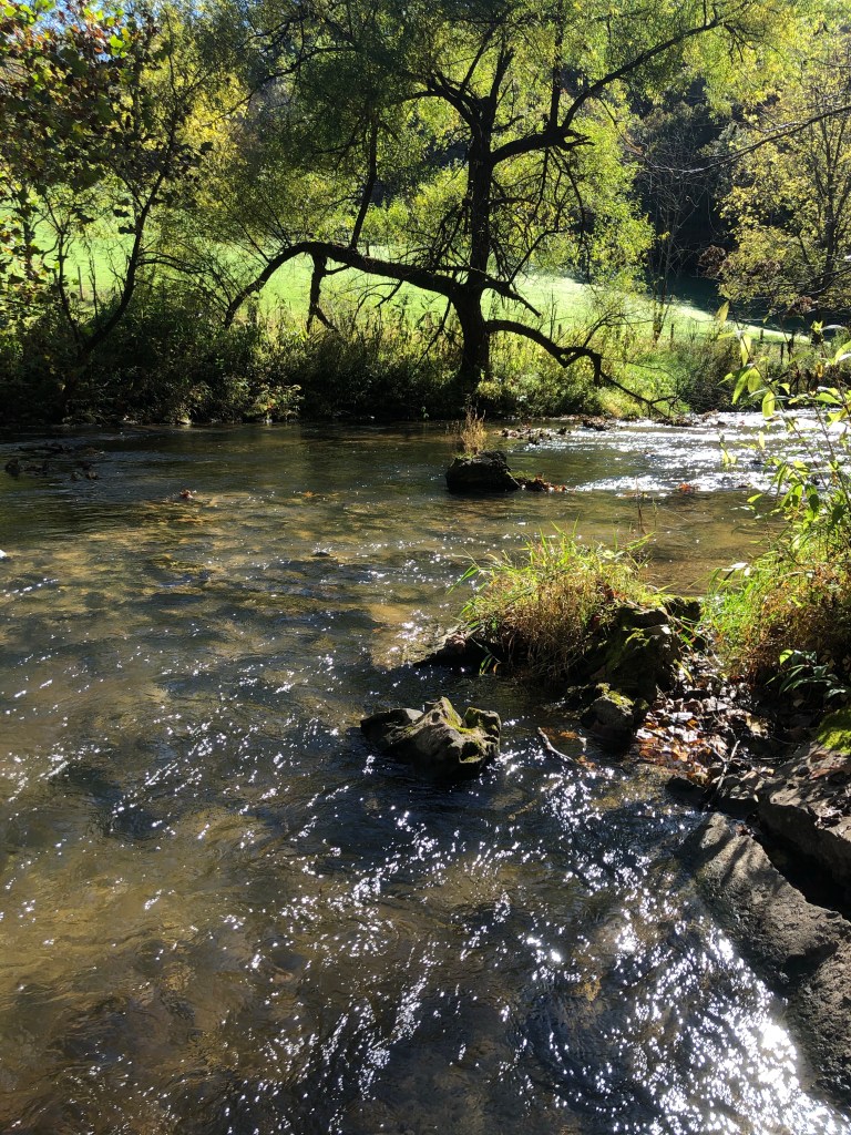
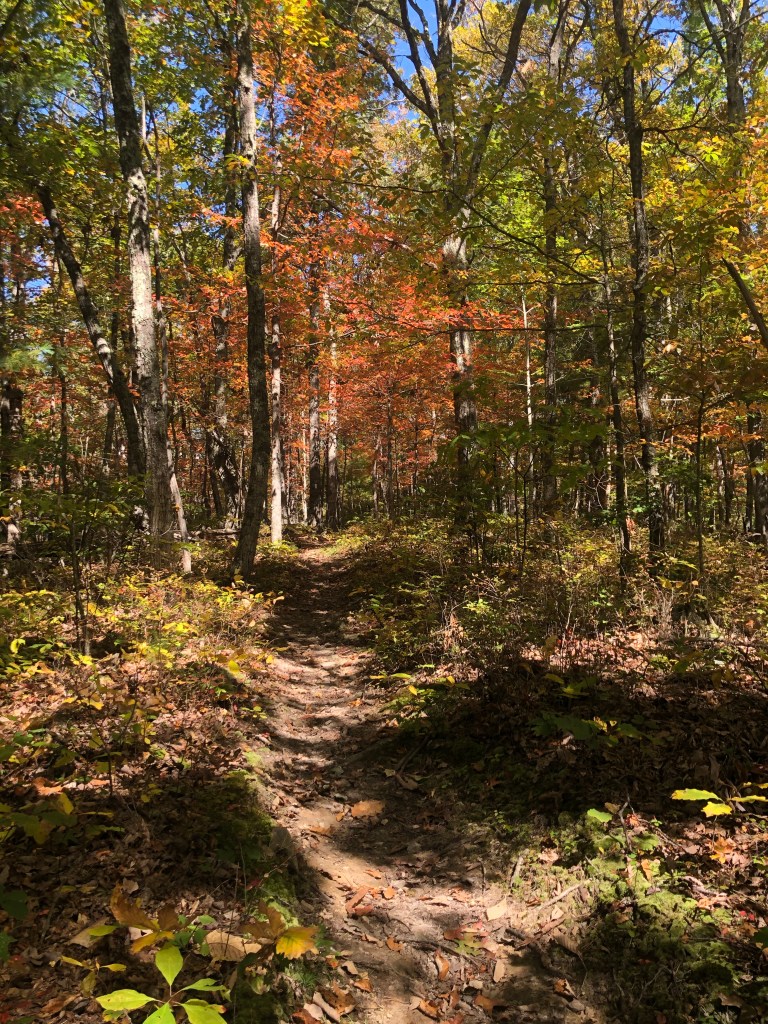
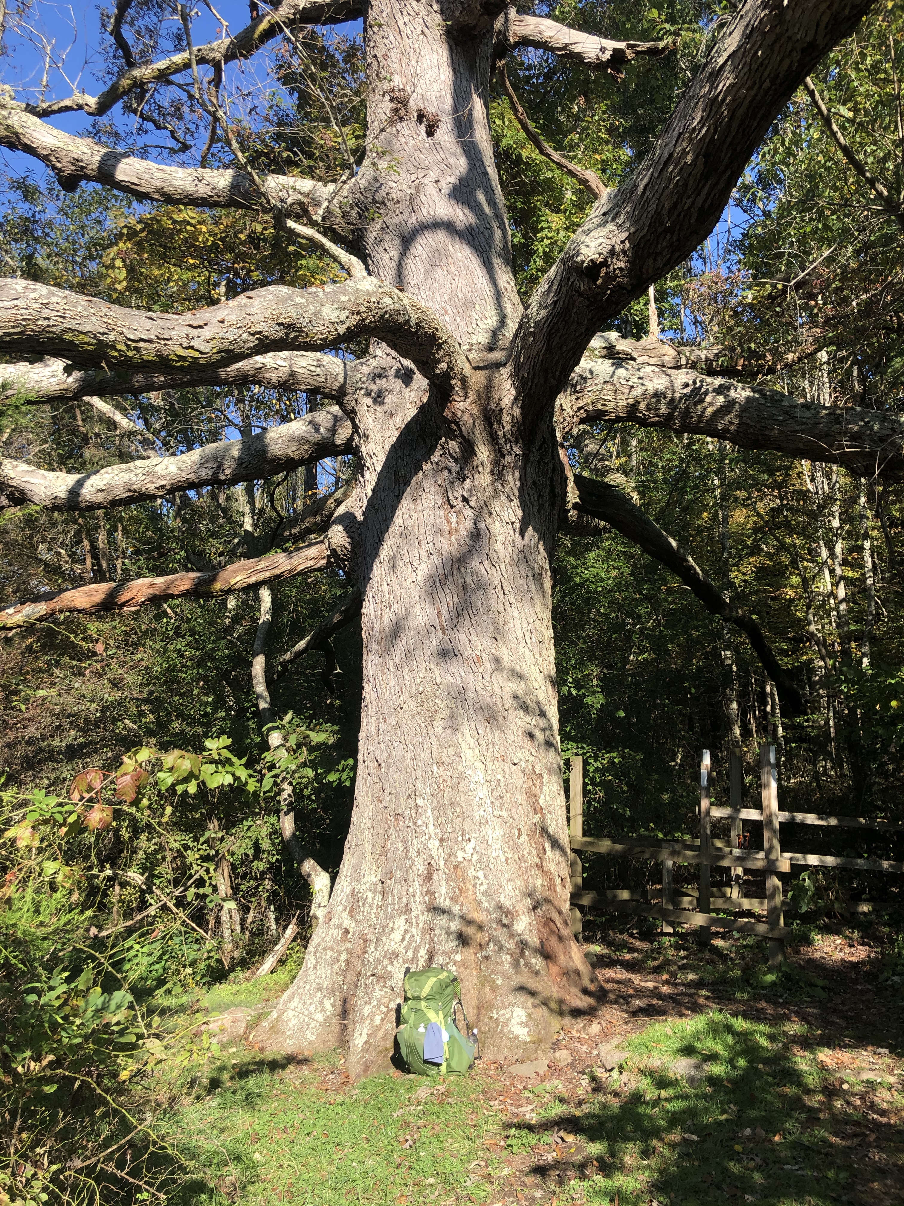
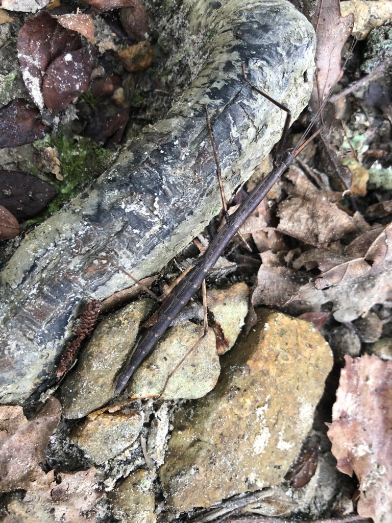
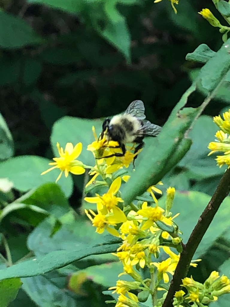
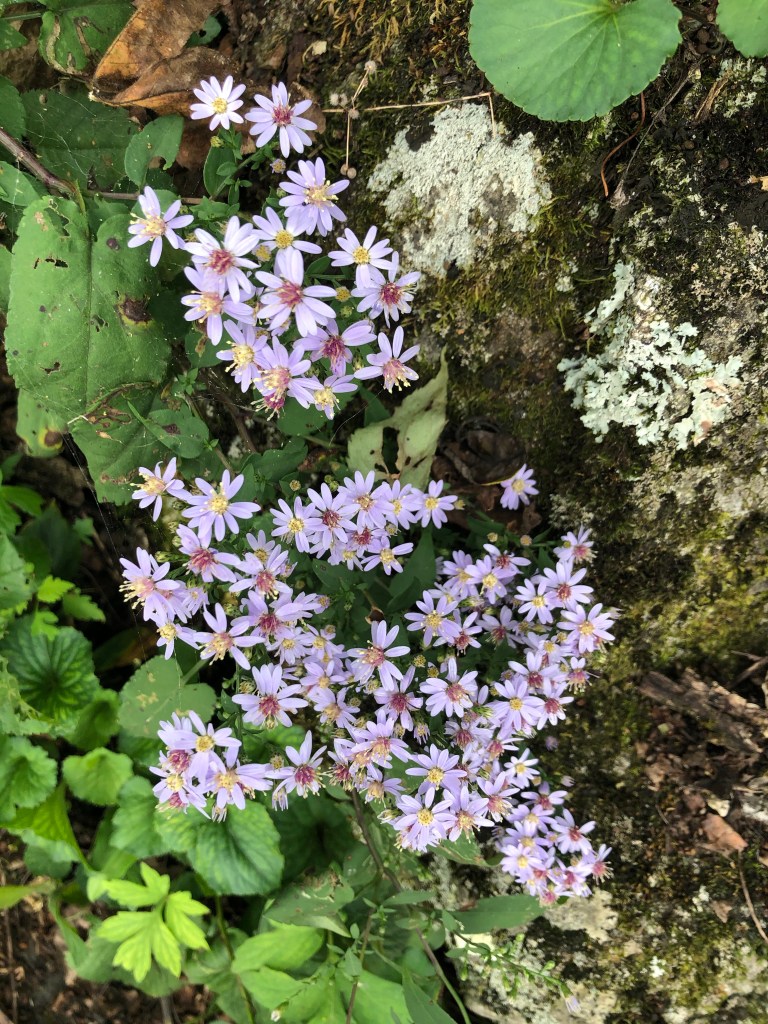
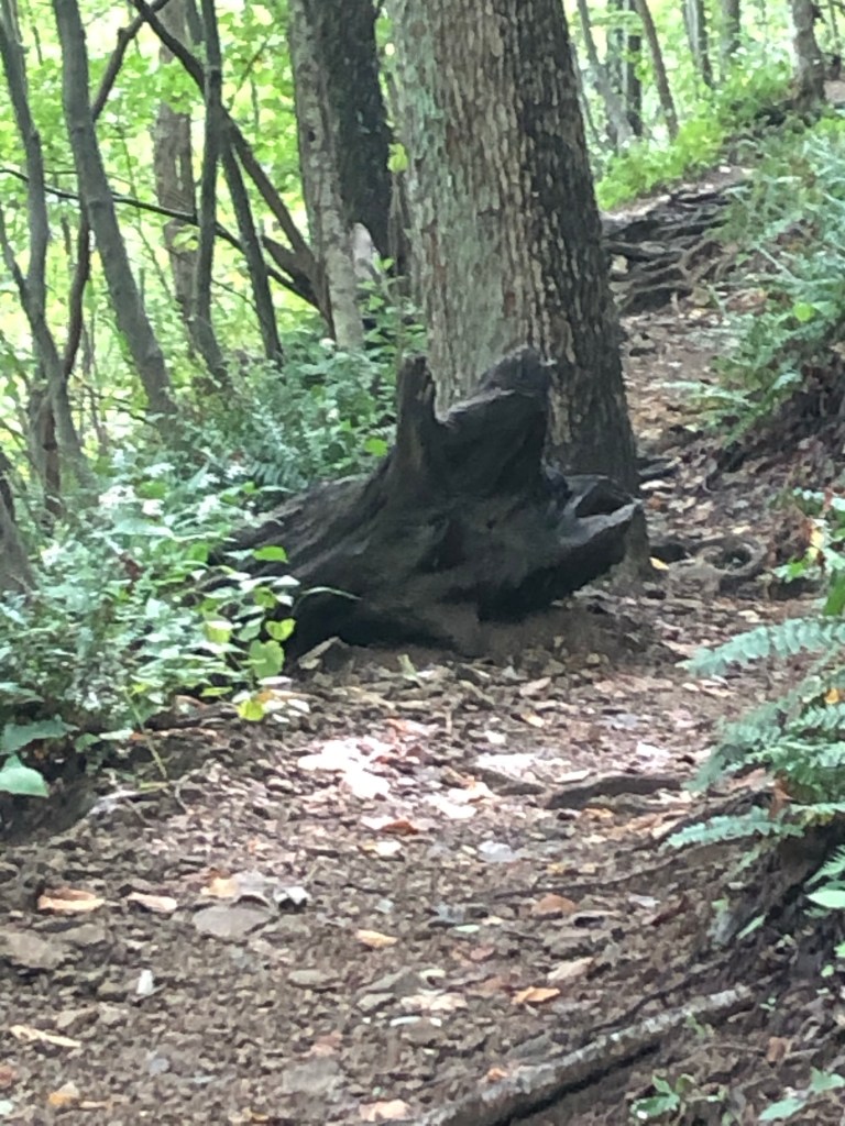
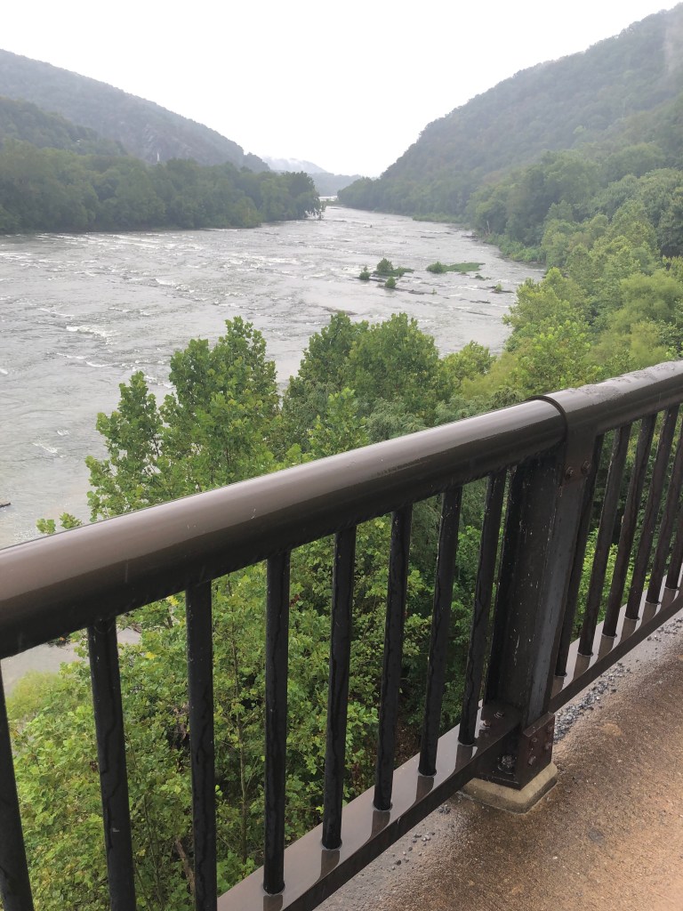
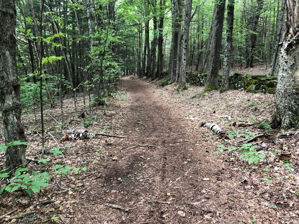
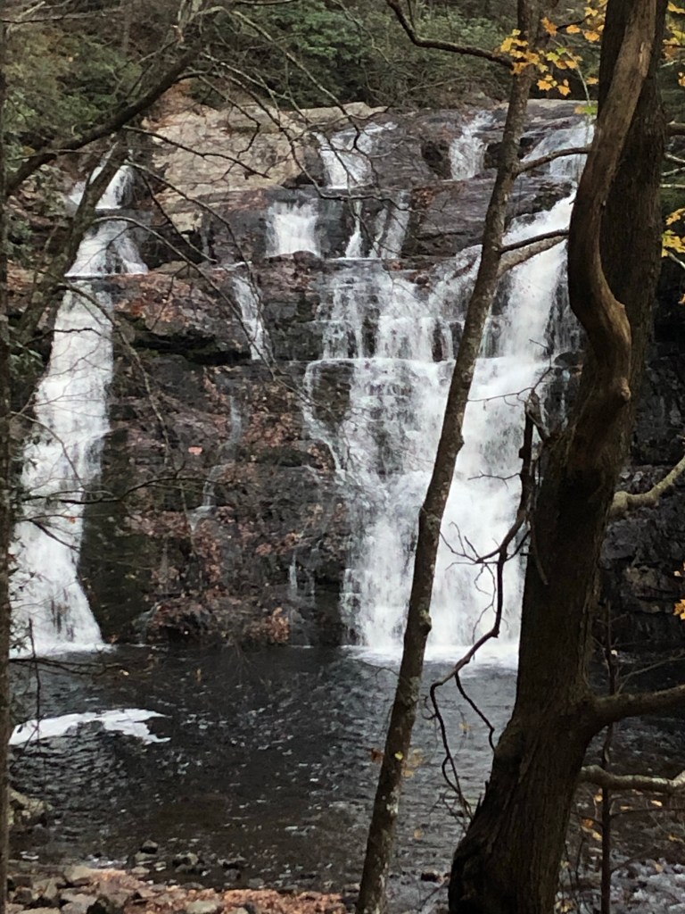
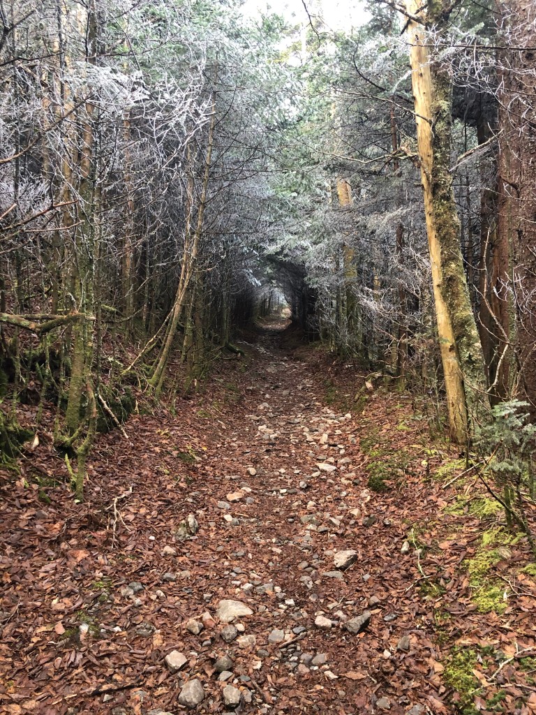
Leaving Boots Off hostel (see last week’s post) at 11 am made for a shorter walk on Monday. This section must be known as the waterfall district of the AT; I have hiked past three different waterfalls in as many days.

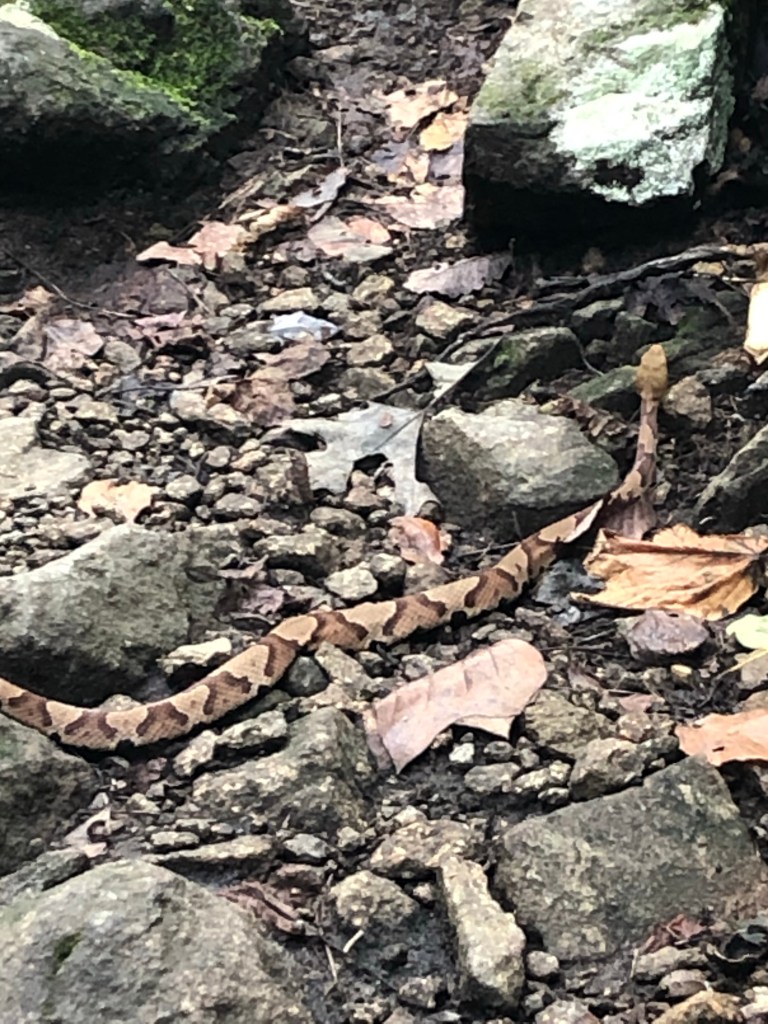
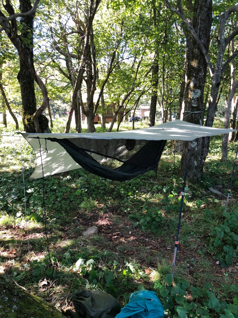
My plan to camp near other hikers close to the trail shelters was fruitless; I spent most of the next three days alone. During one of the nights I spent alone, listening to what sounded like wolves howling rather than coyotes, I was left wondering if eastern Tennessee has any timber wolves. I concluded that there’s nothing I can do about it so there is no sense in worrying and I easily fell asleep after another 20 minutes of reading. (By the way, Google says there aren’t wild wolves in TN.)

Sunrise forecasts the coming storm

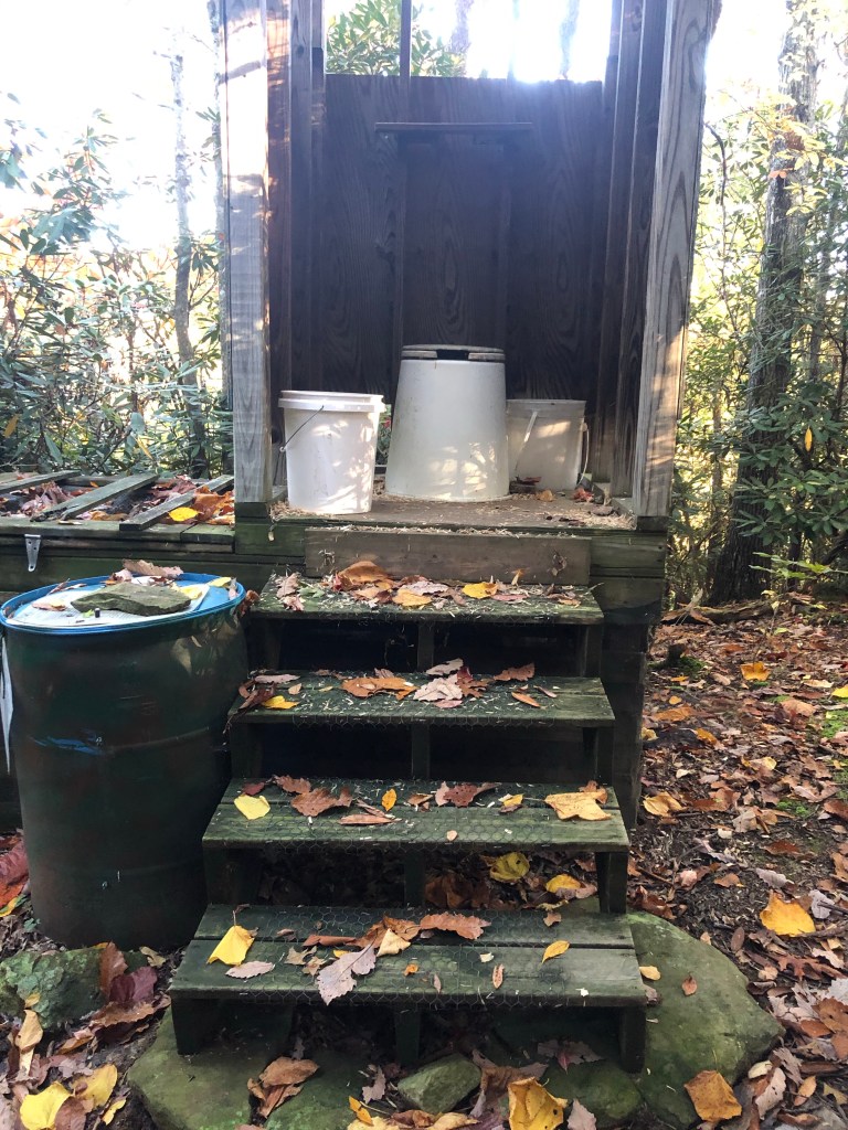
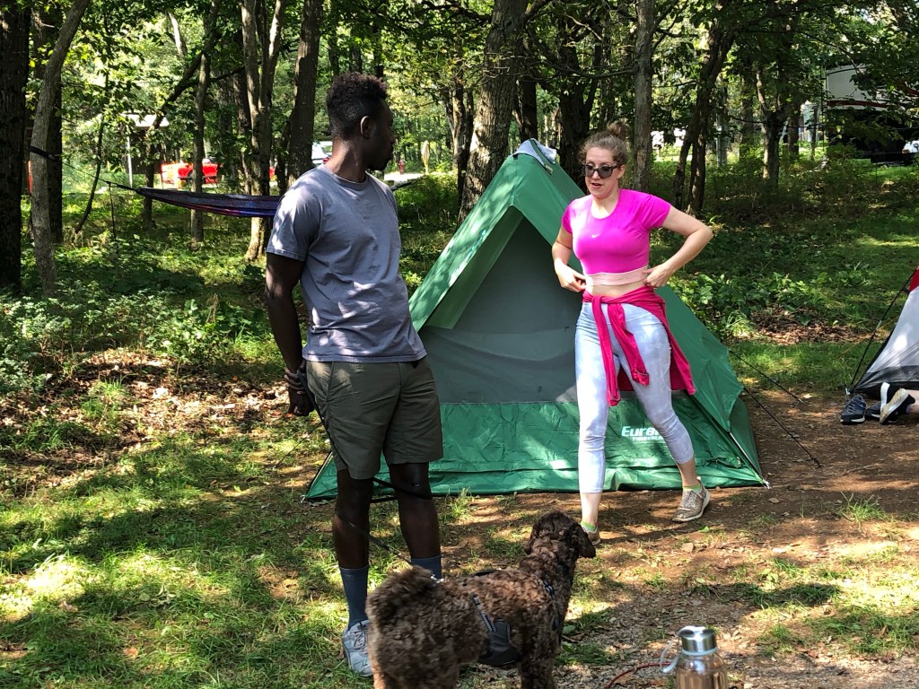
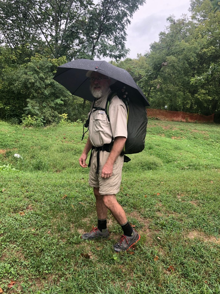
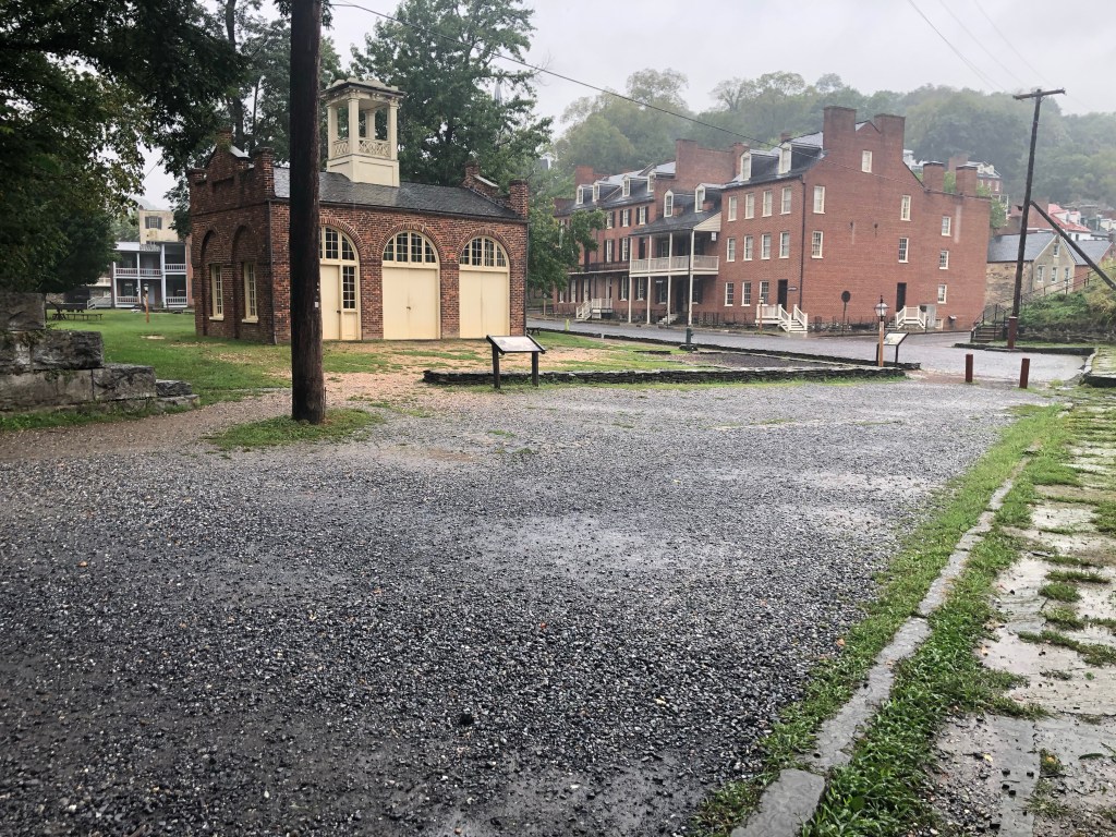
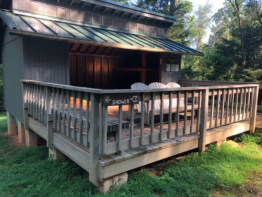
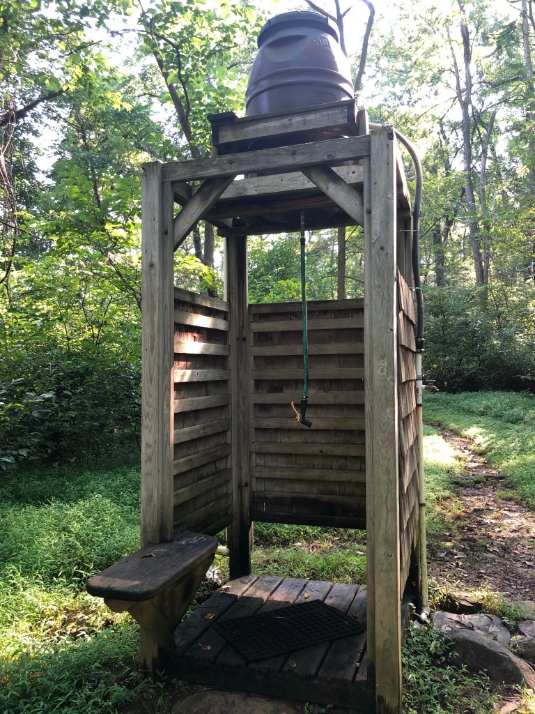
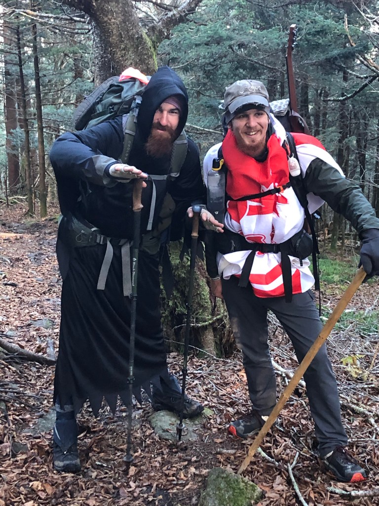
There’s nothing like a good storm to get all the hiker trash to gather in one spot. Hurricane Reta’s projected path inland gave the hikers in this area reason to seek shelter, and The Station on 19E is the place. The Station is an old railroad station that has been converted to a bar and a 28 bed hostel. Due to the scarcity of hikers I’ve seen on the trail, I expected only a couple people to be in the bunk room above the bar. But as usual, my expectations were wrong. There were a dozen hikers seeking shelter from the storm, nearly all of whom I have previously met over the past three or four weeks. The evenings were spent chatting with hikers down in the bar, more visiting around the breakfast table in the morning, with a lot of reading and a little bit of Cornhole during the rainy day.

What this photo doesn’t show are the 30-40 mph winds

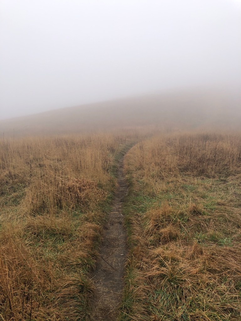
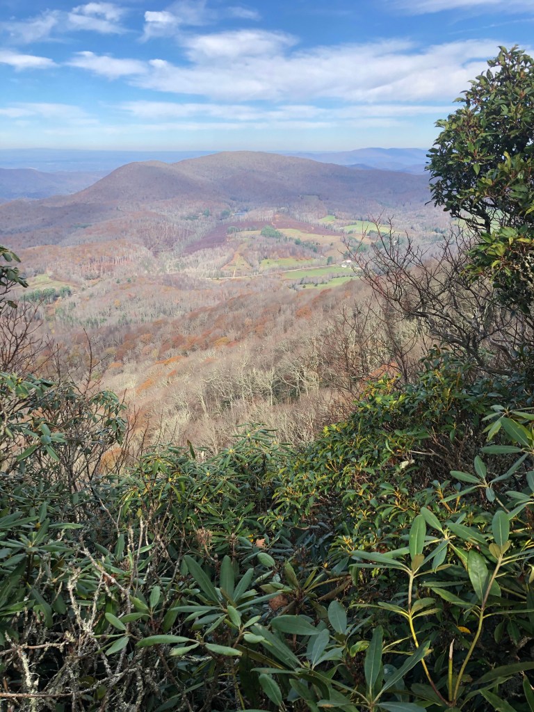
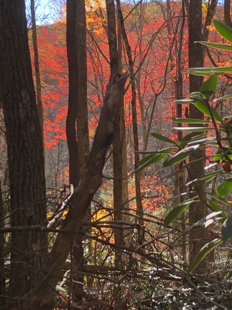
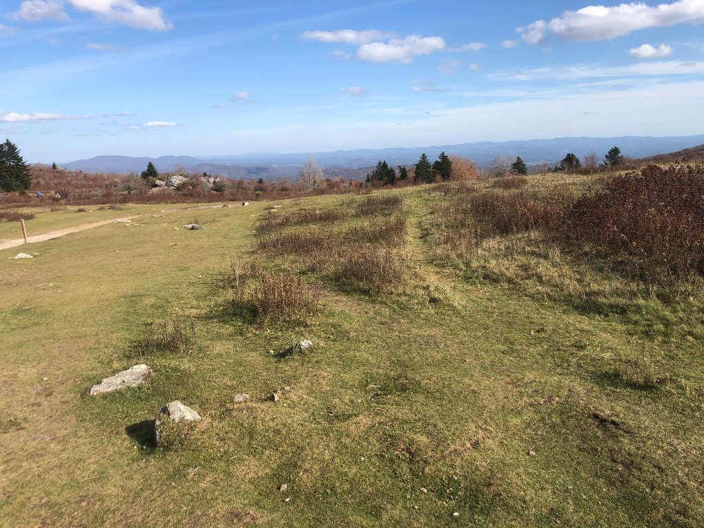
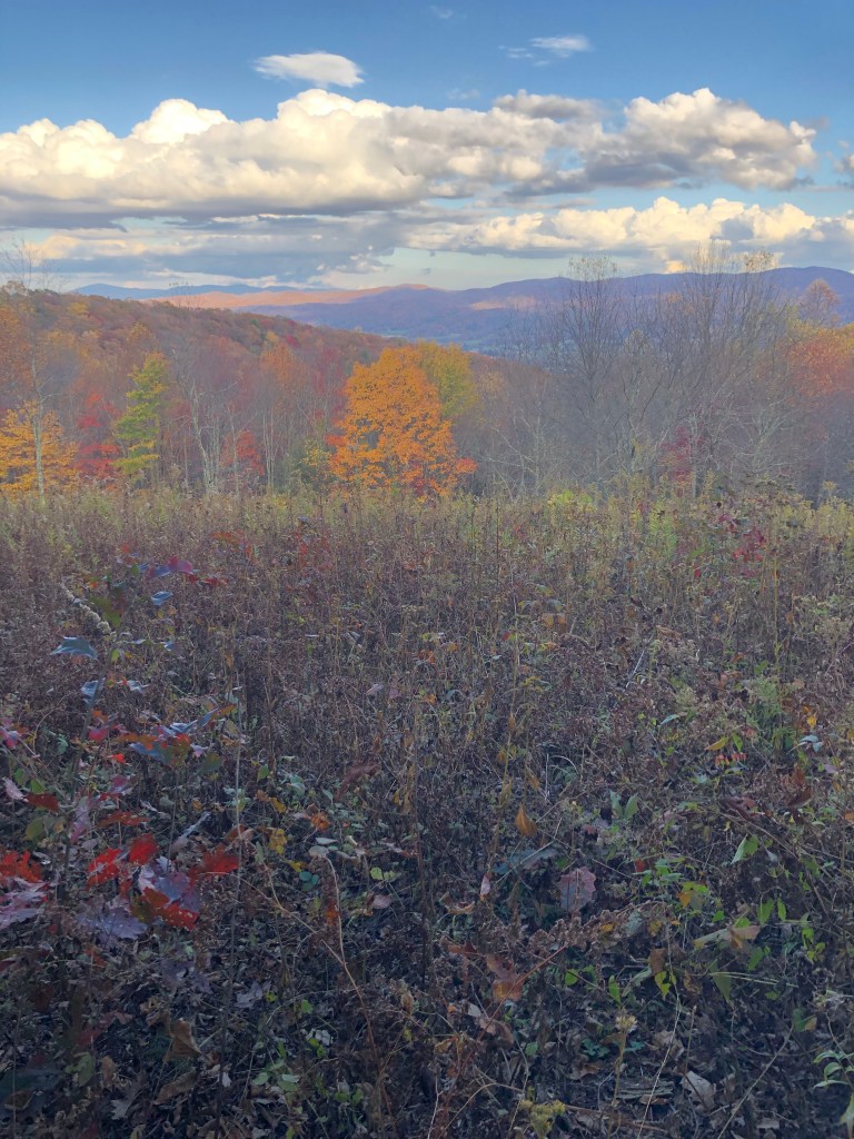
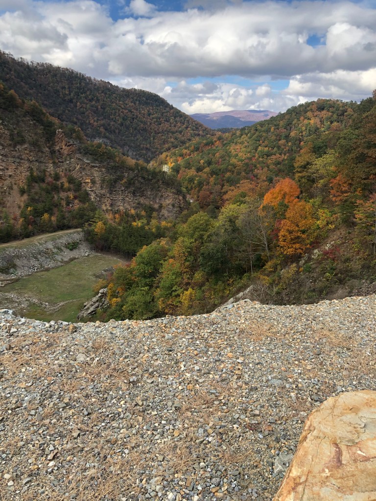
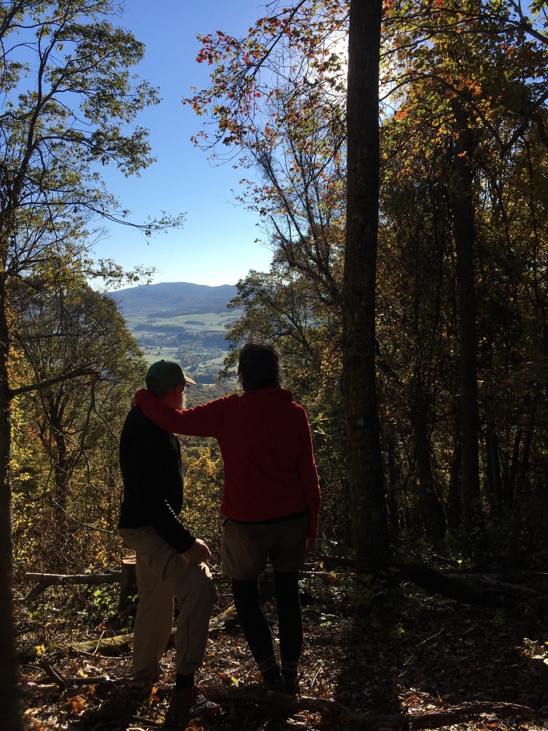
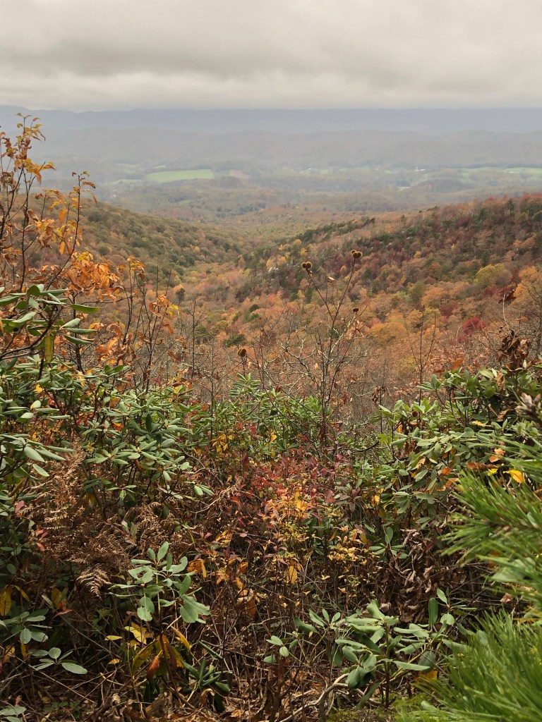
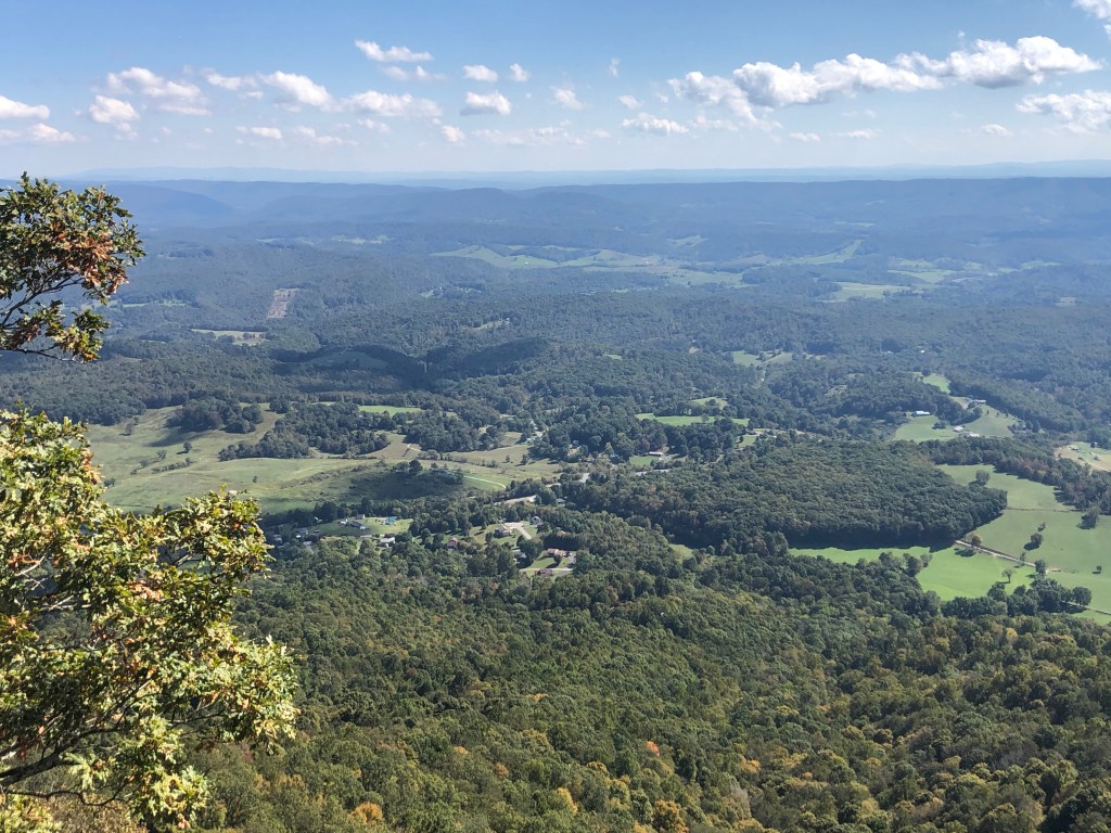
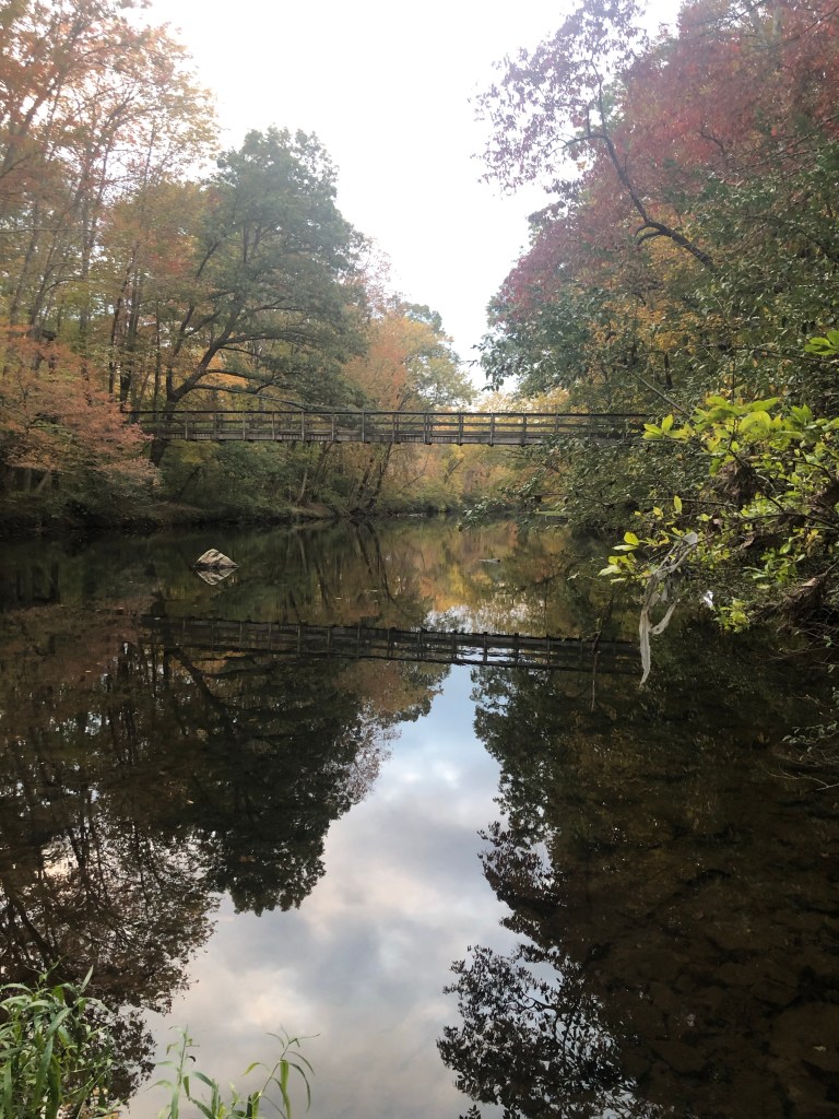
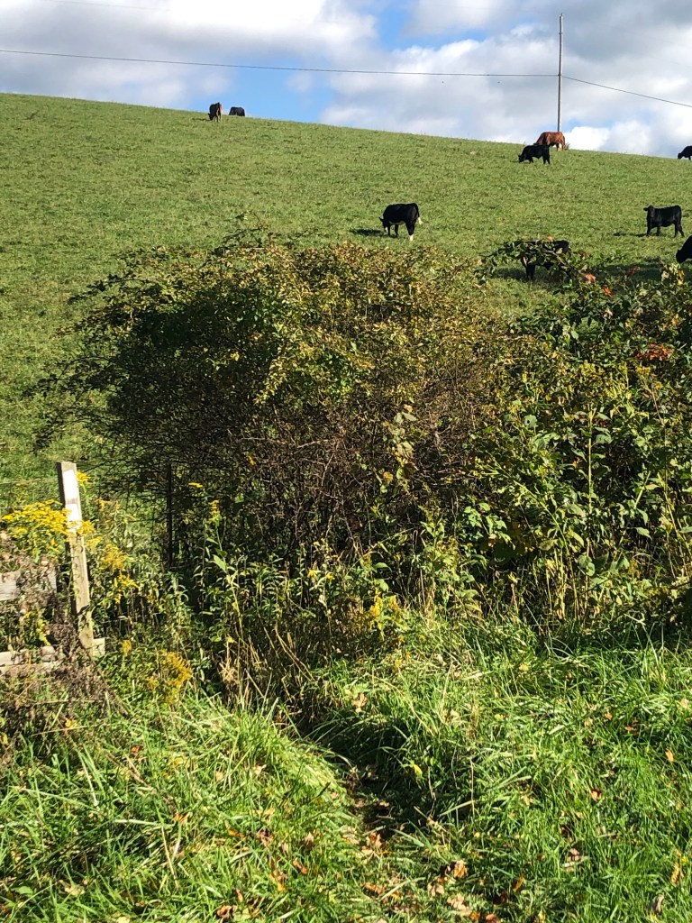
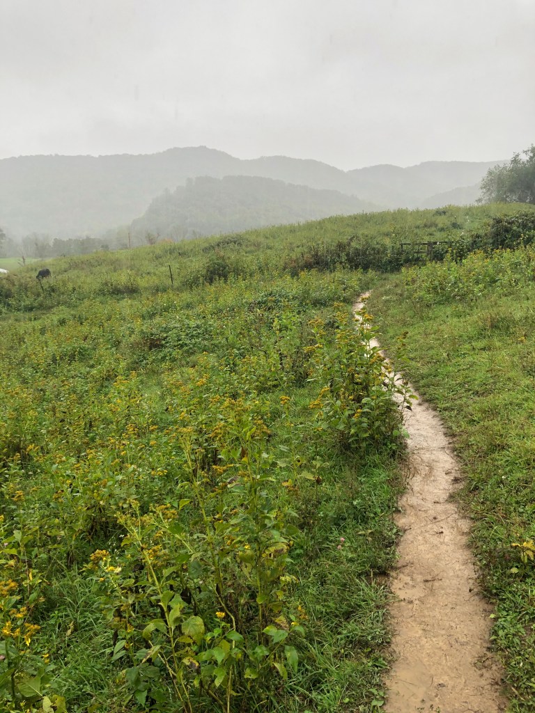
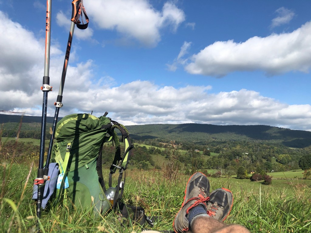
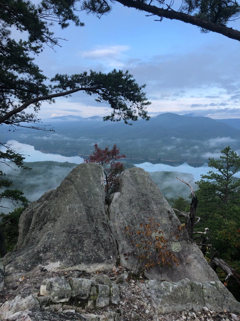
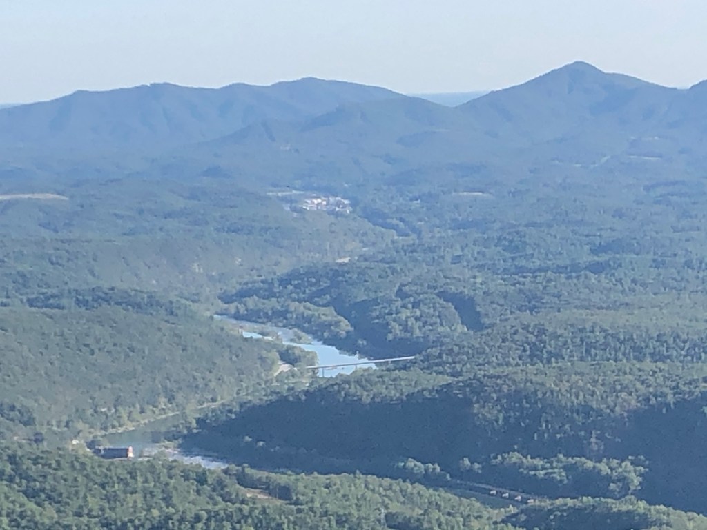
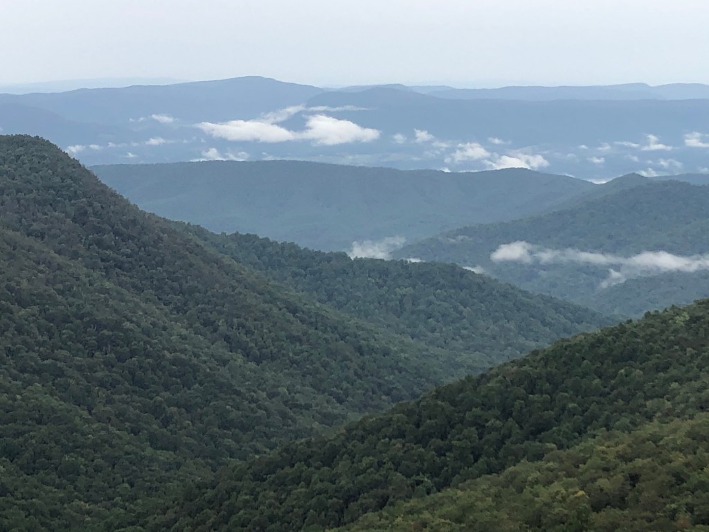
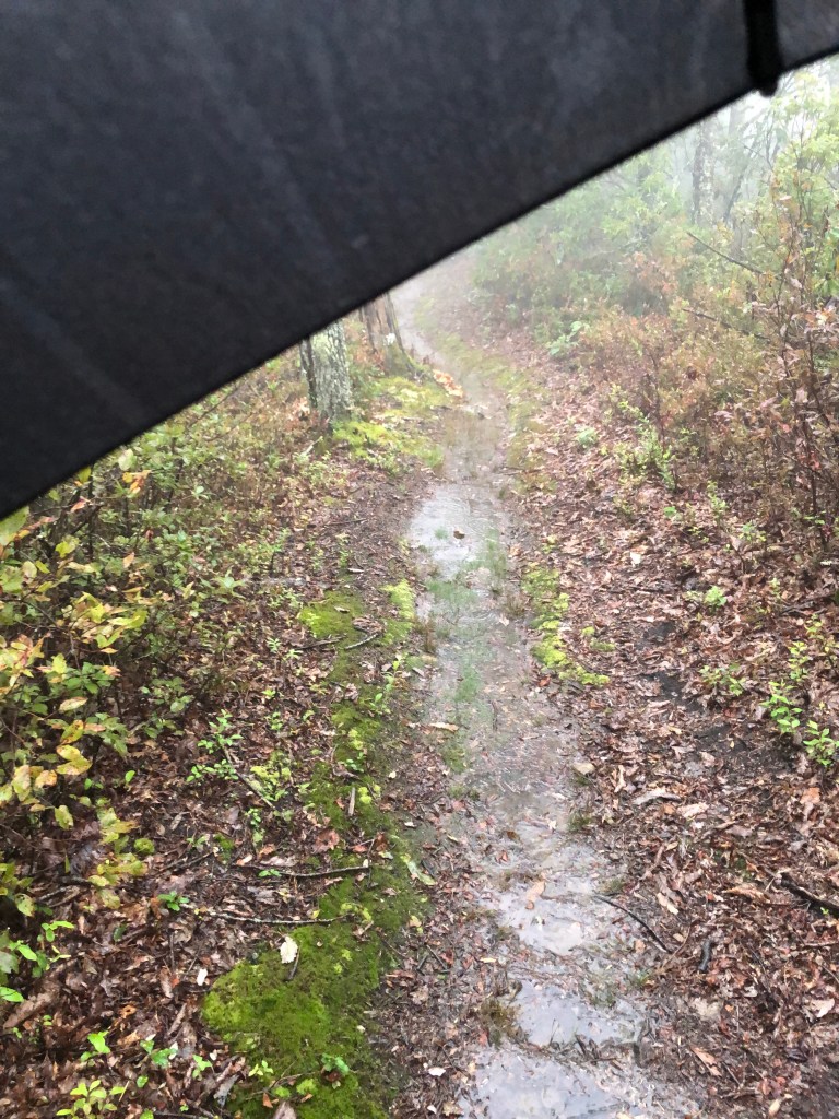
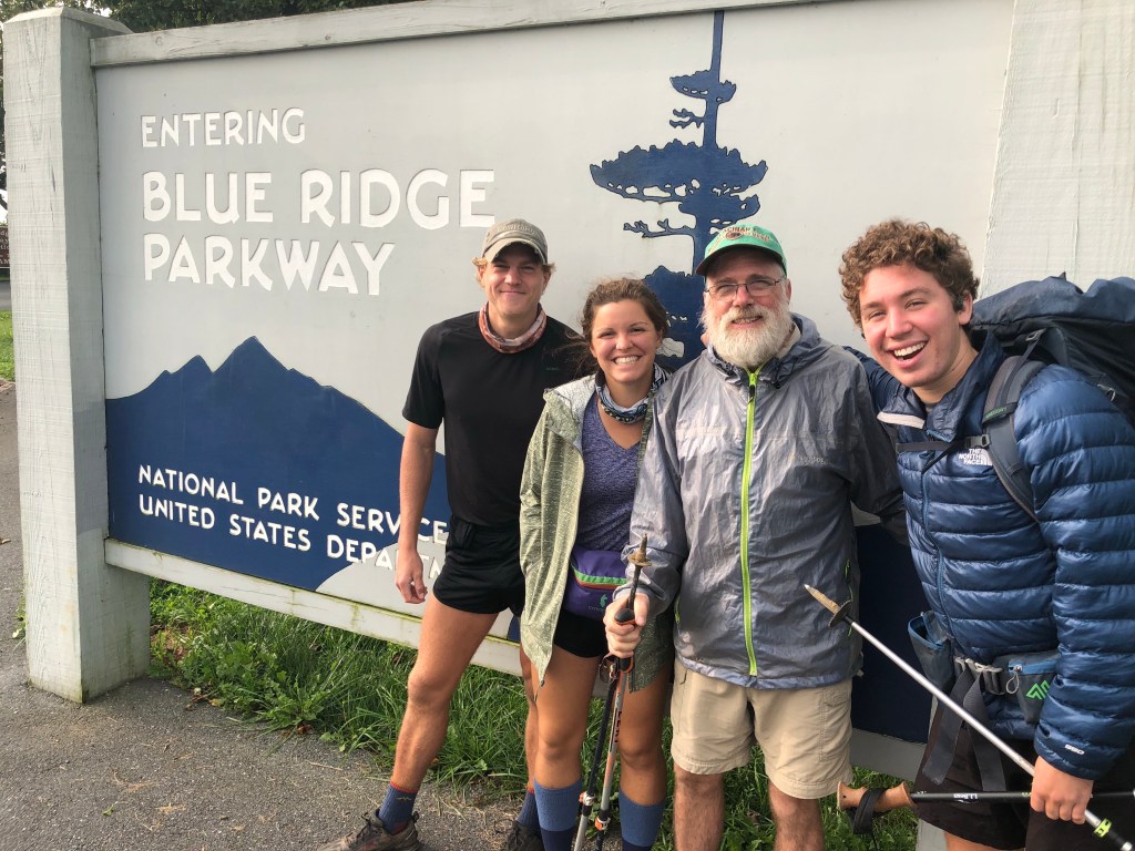
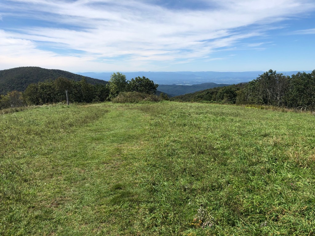
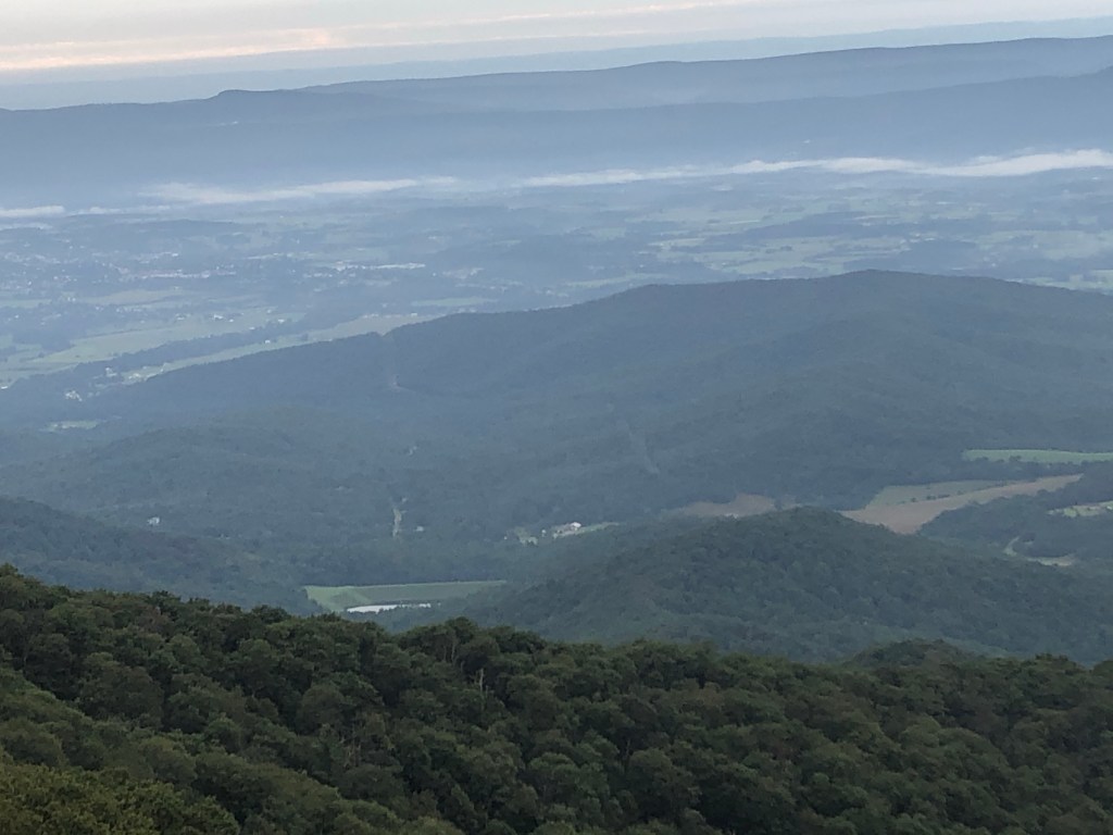
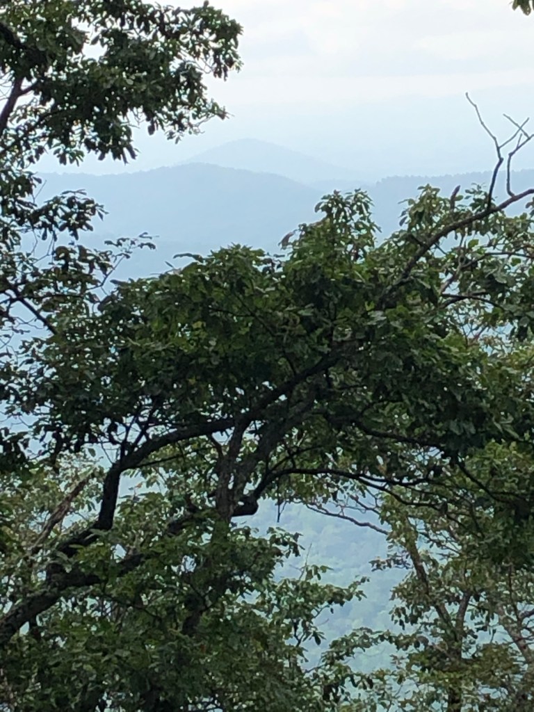
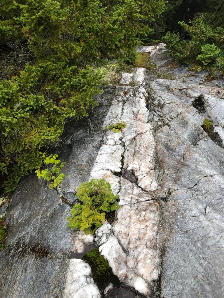
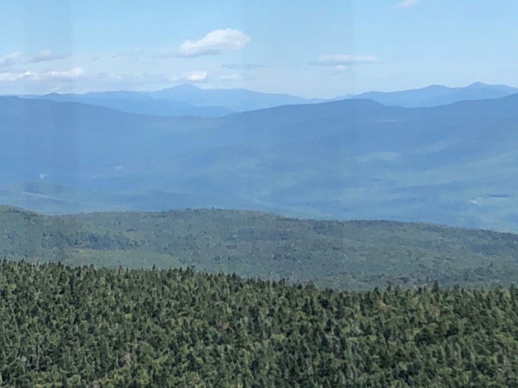
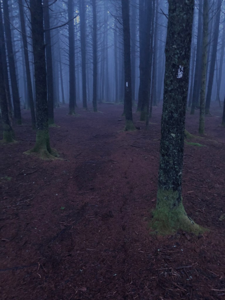
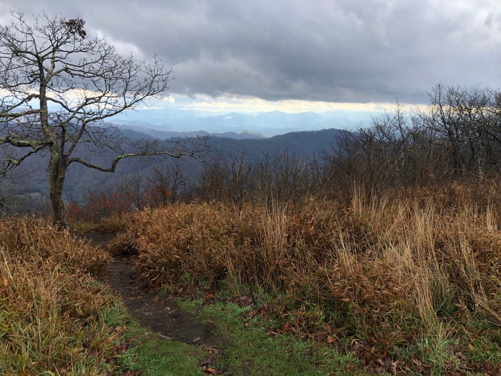
Reta reluctantly left the area on Friday as I donned my pack, left the hostel, and trudged up a 3000’ climb into the Roan highlands. In her wake, unseasonably cold temperatures gave me motivation to keep moving. Roan Highlands is another large mountain ridge with hundreds of acres of open areas which provide great views into the valleys below. Unfortunately the cloud ceiling on this day was at about 5000’ which meant that I spent most of the day walking through the clouds with only a couple of rare glimpses into the valleys below. By late in the day the temperature was down to 34 degrees with 30 mph winds. During the day I passed hikers by the names of Kodiak, Sourdough, and Will I, plus three hikers I befriended at the hostel, heading the opposite direction, slack packing from Carvers Gap back to the hostel.

Kodiak and Sourdough posing for a photo at sunrise on Roan Highlands

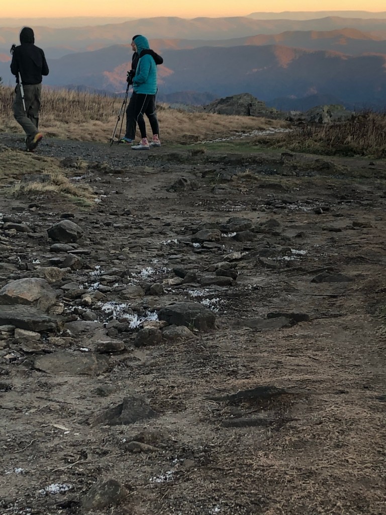
I attempted to find a campsite that was out of the wind and adjacent to a large trail head parking lot at Carvers Gap, and quickly realized that the windchill temperatures must be in the teens and the temperatures were supposed to drop another 10 degrees overnight. I made a decision and waited to see what would happen. I wandered over to the parking area where two different couples started asking about my hike and where I was headed for the night. So I let them know that due to the temperatures I’d be looking for a ride back to the hostel. Both couples were willing to give me a ride and in 30 minutes I was back at the bar, getting a bed in the hostel, and placing an order for wings. While waiting for my food, I enjoyed catching up with Spice- a young woman I camped near a couple of times in Vermont and haven’t seen since July, when I left the trail with my injury. I also accepted an invitation from the slack packers I previously passed- to join them on their early morning return shuttle, back to Carvers Gap where we all continued our hikes south. “The trail provides” is an expression I hear occasionally to explain unexpected help, like a ride to a hostel, but I don’t quite agree with that statement. I don’t believe the trail has any supernatural powers to meet our needs but I know who does and am thankful that God provides.

Halloween on the AT

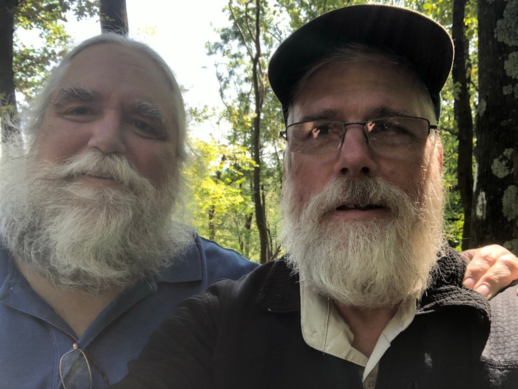
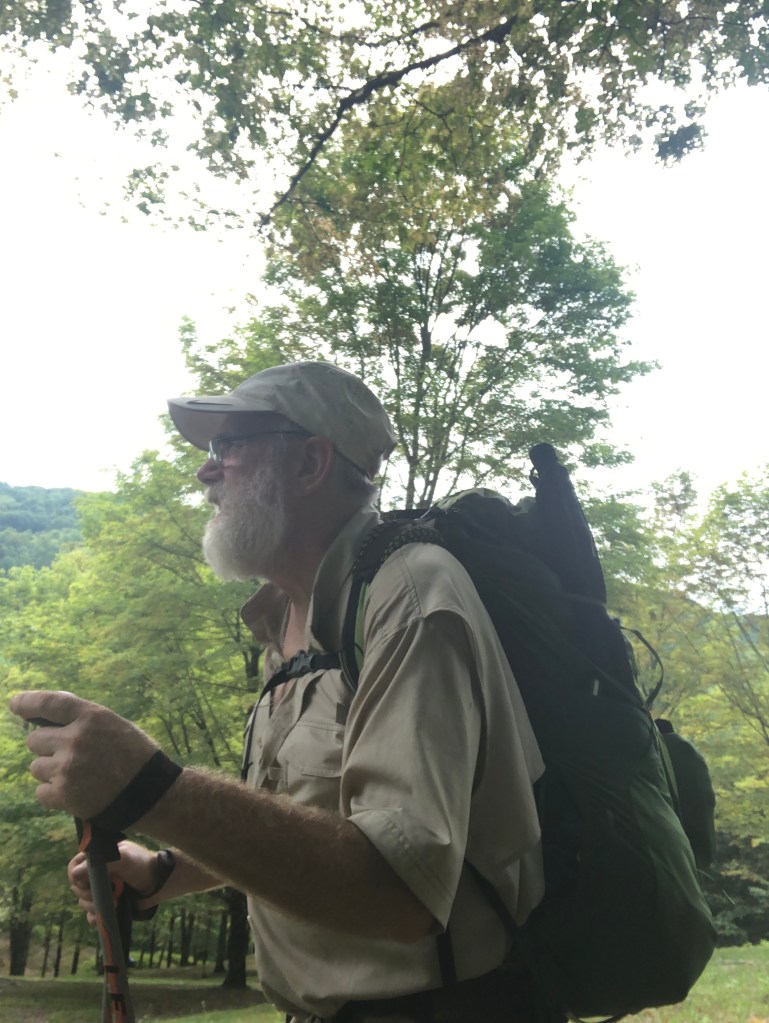
I spent half of Halloween day hiking with Will I, a retired guy from Ohio that I enjoyed getting to know. He told me about the forecast of low temperatures in the teens for Sunday evening, which gave me incentive to hike more miles to get to Erwin a day earlier than I originally planned.

Tunnel through hoarfrost coated trees
This woods reminded me of middle earth’s Mirkwood. Or it could be the woods where the flying monkeys snatched Dorothy.

Since most hikers zeroed during the hurricane, I’m now part of a SOBO bubble, which means that for a few days I got to play leap frog with a small group of hikers that I know. When I staggered into a shelter camp site in the evening, there were folks there to greet me with “Hey, Tablesaw!” (picture Norm Peterson walking in to Cheers).

Beauty Spot

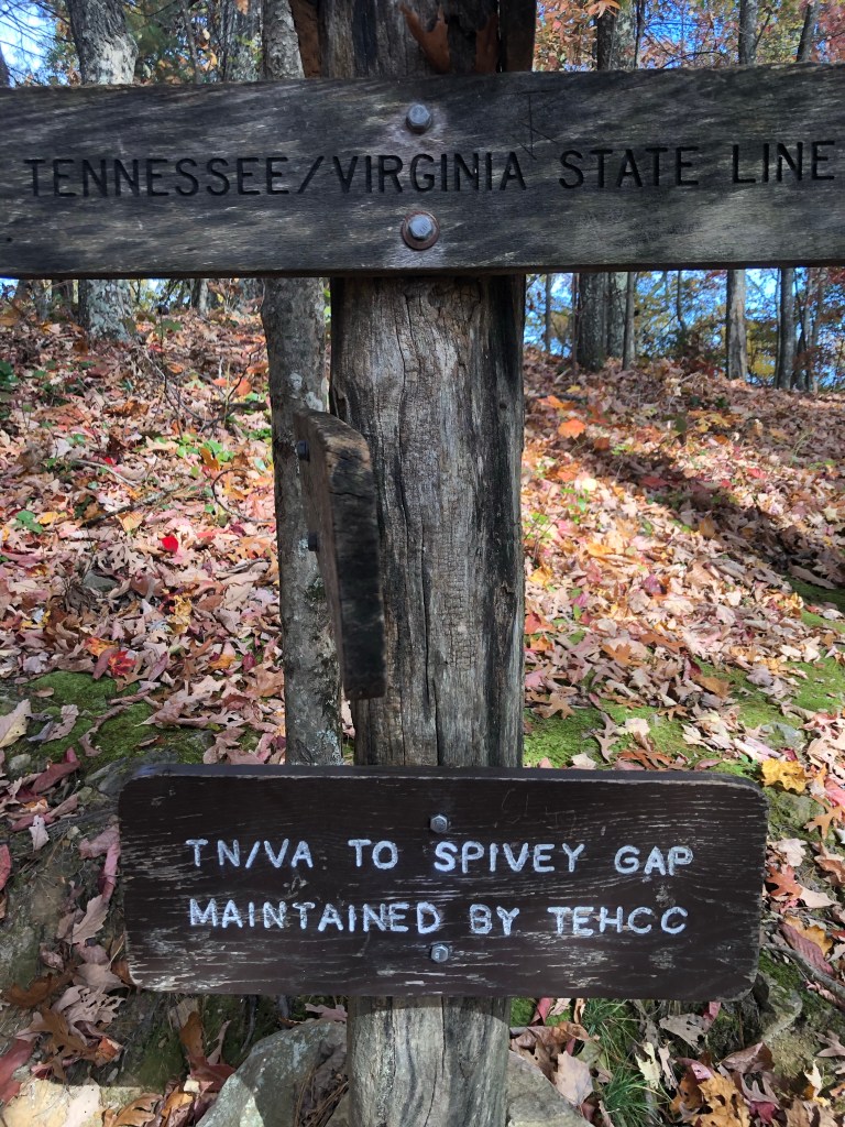
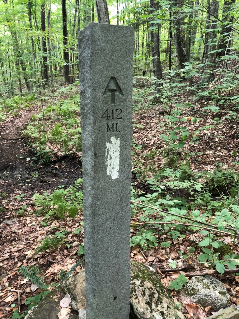
  While hiking these past couple of days, my mind has been preoccupied with what it means to reach Erwin, TN.  Erwin is where I ended my AT NoBo attempt in the beginning of April, due to the pandemic.  Getting to Erwin is like getting to the end of a story; a story that started eight months ago after a year of preparation; a story that is now mostly a memory.  Erwin was always so far in the future that I wouldn’t think about it; it wasn’t even on the horizon.

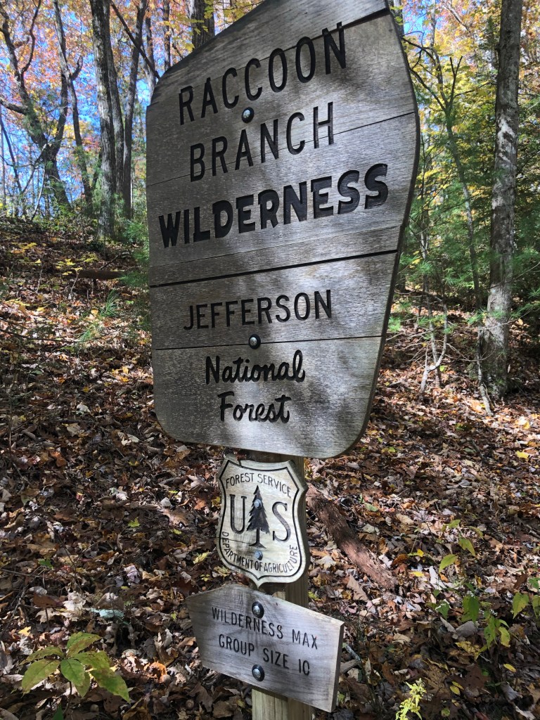
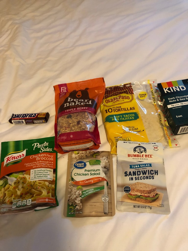
  Now, here I am in Erwin, taking a zero and resupplying for the final time, in preparation for the completion of the story; finishing a chapter that I had to skip.  The AT in the Great Smoky Mountain National Park was closed due to COVID-19 last March.  Hiking through the park in the coming week will be the last page of this year’s edition of my AT hike.

I’ll let you know how it goes.

Sycamore leaf

Post #24 Vistas and Ponies

On October 18, Anita and I had a pleasant surprise. Her sister, Erica, saw my blog post that was published the previous evening and called to let us know that she and Bryan were visiting Michael in Bristol, TN. This was only 45 minutes from where we were staying and they invited us for dinner. We enjoyed a pleasant evening meal followed by a little tour of Bristol, the birthplace of country music, led by Josh and Michael.

  On Monday morning Anita and I said goodbye to each other as I continued my hike south and she started her journey back to the north country.  

It was just a few days ago that I used to gaze across the valleys at the adjacent mountains which were all robed in green. Now those hills have shed their green robe and wear a purple cloak. During my ascent into the 5400’ Grayson highlands area, I noticed how the entire trail is now buried beneath layers of freshly fallen leaves. On a dry calm day, the slightest breeze makes hundreds of red, yellow, orange, and brown leaves begin their erratic journey to the forest floor. The sound of them fluttering and bouncing off tree branches and then landing on top of other dry crunchy leaves sounds like a shower- a leaf shower. These leaves conceal many dangers to my feet and ankles: Marble-like acorns, small tree stumps, rocks, tree roots, and at a few locations the most hideous of all dangers… cow patties. So I now have to exercise more caution than before.

Ross, what kind of tree produces leaves this big?

I wish I could adequately describe the aromas of autumn. Some would say the fallen leaves have a sweet musky smell while the freshly mown hay field that I walked through smells sweet to me. And of course, the fragrance I smell while traversing a cow pasture is…….you guessed it: sweet digested hay. My vocabulary is woefully inadequate. You will just have to get out and let your olfactory gland enjoy this aromatic experience.

Grayson Highlands

The Grayson Highlands remind me of the western part of this country. There are thousands of acres of open space, full of weeds, grass, brush, and rock outcroppings. There are smaller trees with lots of open space between them, featuring grazing longhorn cattle and wild ponies, and there are spectacular views of mountains and valleys, 30-40 miles away. If Anita were to make a card depicting the vista from the highlands, she would have to use 7 layers of paper to depict the mountain ranges that I saw from there. I just can’t use enough superlatives to describe the beauty of the area. This is definitely my favorite part of the AT so far.

This foal approached me and I had a hard time resisting the temptation to pet it. You’re not supposed to feed or pet these wild ponies but it’s obvious that people do.
Sunrise adjacent to my campsite

During my journey from Grayson to Damascus, I spent an enjoyable evening camping and sitting around a campfire with Rock Steady and Water Boy, both recently retired engineers doing their own section hikes.

Damascus, VA calls itself “Trail Town USA” with good reason. In addition to the AT passing through the center of town, the popular 37 mile long Virginia Creeper bike path also bisects this village of 1500 residents. I counted at least six bike rental outfitters that offer shuttle services to the trail’s end. The cyclists then have a relaxing, downhill ride on a former railroad grade which follows Laurel Creek back to town.

Virginia Creeper trail

Each May, except when there is a pandemic, 30,000 visitors converge on this small village for their annual Trail Days weekend celebration. There are food and gear vendors, story tellers, live music, and backpacking workshops. Thousands of former thru-hikers, grouped together by the year they hiked, participate in the hikers parade.

Milkweed

One of the highlights of my Damascus visit was that I got to pick up the new shoes and absentee ballot that were waiting for me at the post office. While doing that I also made reservations at the Boots Off trail hostel for Saturday and Sunday. This is 30 miles away, a two day journey.

From my lunch site

It was when I was back in the mountains that I realized I had misinterpreted my trail app and the hostel is actually 40 miles away. Not only that, but if I wanted supper the next evening, I had to be at the hostel before 6:00 so I could catch their evening shuttle into town. If I had cell service I could have changed my reservation, but as things were, my only option was to convince myself that my legs are strong enough and I am in better physical condition than I was three months earlier. 18.5 miles later, I arrived at my destination for the day about the same time as a group of five SoBos (who were also heading for Boots Off). It was dark by the time we finished supper, but while I was ready to relax and recover from my longest day, they donned their packs and headed to the next shelter, an 8 mile night hike away!

View from Watauga Lake dam

The next day I needed to cover 23.5 miles and hoped to arrive at Boots Off around 5 pm. I can walk an average of two mph, so this meant I did my first night hiking -from 5:00-7:30 am on Friday morning. I made the rookie mistake of not replacing my headlamp batteries the previous evening, while there was enough light to see what I was doing. So 40 minutes after I started walking, I found myself standing in the middle of a woods on an overcast pre-dawn morning in the pitch dark. Since I didn’t even know how to open my headlamp to change the batteries, I was thinking I may have to just park my sorry butt on the trail and wait a couple of hours for daylight. But before I resorted to just waiting, I decided to see what I could do blindly. As my hand slid into my electronics bag in search of the replacement batteries, my fingers could feel the USB cords, phone charger, and battery block to recharge my phone. My phone, my phone, my phone…”Hey, my phone has a light!” Problem solved! I was back to following the beam of my headlamp three minutes later.

Over 500 miles of the AT is in Virginia, which I just completed.

Night hiking is the epitome of tunnel vision; focusing on that small illuminated area, seeing nothing else to the left, right or above, desperately trying to avoid the path hazards listed above. I’m fortunate that this section of trail is smooth and relatively hazard free. Night hiking through pastures and hay fields can be challenging if there are not enough trail marker posts. Remember, I’m the guy that followed a cow path through a pasture instead of the trail in broad daylight!

To successfully complete this long day, I forced myself to take a five minute break every hour, give my legs and feet frequent massages, and most importantly, remind myself that I was feeling good and could do this. Perhaps I’m learning what endurance athletes know- overcoming fatigue requires mental discipline. I also had to overcome my preconceived ideas of when my muscles would be tired. I arrived at Boots Off at 5:20 pm.

My accommodations for night 1 at Boots Off
My night 2 accommodations

Boots Off hostel seems to focus on the whimsical and rustic Appalachian outdoor living. The shower is a small wooden structure with a unique mixing shower head (see attached photo). I spent the first night in their tent cabin, a 12’x14’ shoe wall tent with a queen size bed and cot, table and chair, lp heater, mini-fridge, lights, and a covered deck with porch furniture. I spent the second night in a tiny 8’x10’ cabin with a queen size bed and mini-fridge. Guests hang out at the large fire pit surrounded by log benches. There were also picnic tables on the deck and in the enclosed porch that has been converted to a rustic kitchen.

Shower room. Just open the ball valves on the right and the perforated wash tub becomes a big shower head.

During last night’s resupply shuttle trip to town, I asked a fellow hiker where the next resupply would be. When he said “Erwin”, I was caught off guard; Erwin is where my northbound hike ended in April, and I’ll be there in a week. Yikes! The end of my hike for the year is coming into view. I will only have the Smokies to do after I get to Erwin. It’s time for me to start finding work back home for the rest of the fall and winter.

Until next week.

And the answers to last week’s crossword puzzle.

Post #23 Puzzling

This past week I, Anita, joined Ken for a week on the trail.  It was rather impromptu.  I brought with me very little by way of entertainment.  But one thing I did bring was a crossword puzzle for each day…without answers!  Ken and I thought you might also enjoy a sample of the fun.

Across

1. Also known as a lean-to. We stayed at Chestnut Knob in a stone enclosed one on Monday night. It was on top of a ridge with a 360 degree view, except that we could see very little because of the fog. During the night, the wind howled and it poured rain. We were grateful for those four walls.

4. This trip was not a ——————. The person I have been caring for, Vicki Sleinkofer, passed away and for me, the sudden free time has been an opportunity to mourn, ponder, disconnect with a tech sabbath week, and open myself up to what the Lord chooses for me next. My goal was to posture myself to be fed by the Lord. (Thank you Kristi McLelland for the timely teaching.) This trip was a realignment of the soul. God can choose to feed, inspire, open or close doors, whatever. I just want to be available. ( I also found out that Alma Sawyer, the other lady I cared for, has gone to be with Jesus as of this Monday.)

6.  A heavenly street is made of this.  The trails here were also strewn with it by way of maples.  But even with all that beauty, whether slick and shiny, or dry and crispy, they were equally deceptive. They expertly hid the sharp rocks and slippery roots and sometimes made the path indiscernible from the rest of the woods.  Thank God for white blazes.

8. On the fingernail on older people. We walked along it in the Jefferson National Forest. We were on Brushy Mountain, Mt. Rogers National Rec Area,, Locust Mountain, and Glade Mountain.

9. Low temperature for the week.  Also the full weight of Anita’s pack.

11. Steve Schmitt and John Bloomer.  Steve’s hospitality was really appreciated when I, Anita, got to VA.  His father-in-law, John spent probably two hours in his car shuttling us to our starting point and our car to the ending point.  I did not see their wings.

12. Virginia is for ————————. At least it was for these two.

13. Both heaven and the AT inspire this.

14. My, Anita’s, job was to be the pace setter and that meant I was also the ———— blazer. We averaged one mile per hour. The webs were what really slowed me down. For Ken it was a walk in the park.

Down

2.  Country —————.  It is a constant balance of effort:  Do I look down to avoid tripping, or do I look ahead to stay on the trail?  We crossed one cow pasture in which we miserably failed at both.  We both stepped in fragrant cow patties, and lost our way in the extensive acreage. We did see one way out of the pasture and met a guy who happened to work for the Appalachian Trail Conservancy. He thankfully pointed us in the right direction. 

3. ————-Sides.  Favorite brand of bagged pasta for Ken. Also a favorite:  Chocolate Covered Cherry Kind Bars, and Pumpkin Spice RX bars.

5.  One leg of hiking’s triple crown.

7.  We forded it.  On Thursday, we were warned  that a bridge ahead was out. We had to take off our shoes and find our own way over.

10. Another term for privy. The following is a sensitive story that I, Ken, have been avoiding, but it is time to bring it out in the open: Relieving myself. So the protocol for this is that when you’re out in the woods with no facilities at all, you dig a six inch deep cat hole with a trowel that the manufacturer calls the “Deuce of Spades”. When you’re finished with your business you fill in the hole with the soil that was removed. The reality is that you never can actually dig it six inches deep for all the rocks and roots, but you do the best you can. There are occasions, however, where you do have facilities of a kind, usually located near a shelter. These are known as privies. Many are composting privies, built on an elevated platform to allow lots of airflow to assist with the decomposition. The user is asked to add a handful of wood shavings or leaves to encourage the growth of aerobic bacteria. Monday morning, after it rained all night, I made my customary dawn visit to the privy. After doing my business, my foot slipped on the rain slickened top step and I landed on my back and slid down the final four. The rest of the week I was reminded of that “slip-up”. On the bright side there were no serious injuries, and I did not fall into the can! This is the first hard fall I’ve had since my July accident.

This privy was very nice. Someone got smart and put chicken wire on the steps

We are now in Marion, VA, where Ken will take a zero day and resupply his pack. Anita is just trying to get up the steps to the hotel room. Ken calls it Hiker hobble.

Post #22 Water

Following an evening dessert of pie and ice cream to celebrate my birthday, Steve Schmitt drove me from their home in Blacksburg, VA, and returned me to the Wind Cliffs trailhead on Sunday morning. Due to the location where I started hiking and the scarcity of spring locations around there, I carried extra water at the end of that day. This enabled me to camp at a stealth site on a mountain ridge. I set my hammock’s rain fly so that the edge facing the wind was closer to the ground, and the lee side was higher. This allowed me easier access in and out of the hammock. I enjoyed the crimson sunset, which promised fair weather, while I talked to Jordan who called to wish me a happy birthday. After reading “Uncle Tom’s Cabin” for about an hour, I drifted off to sleep. When I awoke at 3, I found the wind had changed and a dense fog was now blowing into the least protected side of the setup, wetting my hammock, down quilts, and jackets which were hanging under the fly. So at 3 AM I was out in the cold, adjusting the rain fly to keep the blowing fog out. It reminded me of why this trip is called an adventure.

Late on Monday afternoon, after a three hour descent (which my left knee was not happy about), I found myself in Pearisburg for a resupply and another night in a real bed. I walked through town and headed toward the hostel where I was hoping to get a private room for the night. On my way there, a guy in a van called out to me, “Hey hiker!” He asked where I was headed. He then waved me over and gave me a ride to the hostel where he works. We learned from our conversation during the car ride that we had met each other in Georgia back in March, when he was hiking with Pappy (see post #3)!

Late bloomers

My brief stay at Angels Rest Hostel was very enjoyable. It was entrancing listening to how these other hikers got to where they are and it was comfortable being with other people who had something in common with me. After thinking about this, I was reminded though, of how dangerous it can be to surround myself solely with people who agree with me. It is like getting my news from one single source simply because I agree with that particular view.

Fall colors

The hostel shuttle returned me to the trailhead at 9 on Tuesday morning. Even though it was only about 45 degrees outside, I removed my down puffy jacket before starting my hike up the mountain. Fifteen minutes later I removed my gloves and pants legs. (They do zip into shorts!) I soon removed my micro fleece shirt, and then eventually my hat. With clear skies and the temperatures in the high 60s, the early morning fog quickly burned off and it made me glad that I was outdoors. Around lunch I found a sunny rock overlooking the Pearisburg valley, and had a pleasant phone conversation with Anita, talking about the logistics of her planned trip to join me in hiking a section of the Jefferson National Forest. On this particular day, the trail led me past several vistas and through several azalea tunnels. At the shelter that evening, I enjoyed the conversation with Six Pack, Pack Animal, Poncho, and Green Bean. I learned that I had briefly bumped into Green Bean and Poncho last week at the Howard Johnson motel in Daleville. I exchanged contact information with Pack Animal, another 62 year old, who invited me to join him next fall for a canoe trip in Minnesota’s Boundary Waters Canoe Area.

Suspension bridge over Kimberling Creek

Due to a lot of ridge walking, there was one day this past week when getting water was a bigger chore and more adventuresome than usual. I stopped at a shelter at lunch time because there was a water source there. I followed the .3 mile trail to the water source only to find it dry, so I followed the dry bed downhill for another quarter mile before I found a small trickle of water. While trying to fill my water bladder, I finally noticed the source of the foul odor I had been smelling- a dead deer in the dry stream bed, 25’ uphill from where I was trying to get water. So I quickly moved further down the valley to find another source of water. I found another small pool, filtered it into my bottle, and began the arduous task of trying to find my way back up to the shelter and my pack. I followed the wrong dry gulch back up the hill and soon realized I wasn’t where I wanted to be. I was thankful for the gps function on my trail app as I followed the little arrow and took the scenic route back to the shelter. This water trip must have required me to walk 1.25 miles. And get this: Other hikers found another source of water only 100 yards from the shelter! Now where’s the adventure in that?

Section of bee hive

I would continue to run into and occasionally hang out with Green Bean, Slip, and Poncho throughout the rest of the week as they continued their LaSH (Long assed Section Hike) from Hanover, NH, to Springer Mountain, GA. Most of the hikers I met this week are section hikers and most of them are of a more mature vintage.

Azalea tunnel

At the end of the week the big conversation on the trail was where to take shelter from the remnants of hurricane Delta. Some were going to hang out in a trail shelter for a couple of days while others were heading for a local hostel. As for me, I was going to be with Anita, who was just arriving for our trek together. But instead of hiking and then taking a couple of days off, we decided to spend the rainy weekend at a hotel in Blytheville, and heading out Monday when it is predicted to be better weather.

Another hitch hiker

  I am looking forward to spending the next week hiking with the love of my life.

Post #21 Psalm 104

In to the pasture I go! This reminds me of hiking in Yellowstone surrounded by bison.

I spent the first day of the week in a motel in Daleville, VA. In addition to the usual zero day chores like doing laundry, getting resupplied, creating a blog post, I also ate lots of food and watched too much football.  As I was packing the next morning, my bowels were reminding me that they were not used to my food selections.  Maybe it was the junk food, pizza, potato chips, and coke or maybe it was healthy stuff, tossed salad, nectarines, and bananas.  Whatever it was, they seem to be happier now that I’m back to my trail diet.

  The following is a sampling of what I eat on the trail: 

Breakfast– granola usually with water on it since I can’t buy a small quantity of dry milk. Hot oatmeal when it is cold outside. Morning snacks– breakfast bars, protein bars, or Kind bars Lunch– chicken or tuna salad packet on a tortilla or cheese and summer sausage in a wrap, dry fruit, nuts. Afternoon snacks– Snickers bar, Fig Newtons. Supper– Knorr Sides pasta or rice dish, occasionally mashed potatoes or Ramen.

The first day after my zero I felt kind of sluggish and didn’t have the energy I usually have after a zero. Day two was a longer day, 17 miles, but I had more energy. Maybe that’s because the temperatures were cooler and it rained all day.

I try to be more cognizant of where I place each footstep when hiking in the rain. Stepping on tree roots can be risky. My mind does some fast risk evaluations before my foot lands on a rock: How much is it sloped? Will my soles provide a high enough coefficient of friction to prevent me from slipping? How will I prevent a fall if I do slip? But the wet surface that gave me the most difficulty appeared after I emerged from the woods on a long descent and entered a hay field. As usual, a defined path devoid of gravel, rocks, grass, or roots led down the sloped field. This is where I learned how slippery wet Virginia clay is. I eventually abandoned trying to walk on the path and chose to trod on the wet grass next to it where it was far safer.

  During the first two days of hiking this week, the trail took me by three of the most iconic spots on the entire AT: Tinker Cliffs, McAffee Knob, and Dragon’s Tooth.  Unfortunately, because of the rain and fog, my visits there were a little rushed.

A not so successful selfi attempt in a rain storm on McAfee Knob
Dragon’s Tooth

  A few days later, I enjoyed the opportunity to pass through several more fields, pastures, and meadows.  It happened to be a beautiful, sun drenched, cool autumn day.  And once again I found that my mind was far away and I was no longer living in the moment.  So I stopped where I was, in the middle of a field which overlooked a valley filled with farms, country roads, and grazing cattle on a distant hill, and lay down in the middle of the trail.  I watched clouds float past, observed a couple of vehicles slowly navigate the winding, hilly road, enjoyed the sun on my face, absorbed the fragrance of the freshly washed countryside, and wondered why I have such a hard time keeping my mind in the present moment.  Please Lord, teach me to be where You put me and to revel in the present.

Ahhhh…..

This week’s hike ended with a stay in Blacksburg, VA, where I visited with the Schmitt family. Again I was refreshed; it was like water to my parched soul.

Steve

Some additional photos

This guy hitched a ride on my pack
Crazy tree
The Keffer Oak is estimated to be 350 years old
Handiwork of trail volunteers
150 yd long rock outcropping
Scary swarm of bugs
A Phasmatodea or Walking Stick
Early morning at the Carvins Cove Reservoir

Post #20 Don’t Hurry

I started my week with a visit to Bryan and Debbie Baine, a former coworker and their family. We had renewed our friendship a couple of years ago when Bryan’s son and my Hannah both started their freshman years at Gordon College. Bryan picked me up at the Punch Bowl Mountain overlook on Sunday evening, where the AT crosses the Blue Ridge Parkway and drove me to their home in Appomattox, VA, stopping along the way so that I could see one of his satellite coffee shops.

Bryan with Table Saw

The next morning, after eating breakfast, finishing my blog post, making a resupply list and grocery shopping, we went to his bookstore/ coffee shop for lunch with the local Young Life area director, Allen Miller, with whom I was acquainted from the times he had a staff assignment at camp. It was nice to hear how his ministry was going and how his family was doing during our leisurely two and a half hour lunch. I spent the rest of the afternoon at the coffee shop relaxing by reading, ordering a pair of down booties, and watching eight retirees play bridge. If you are ever in Appomattox, be sure to visit Baine’s Books. Once again I’m reminded that the highlight of this hiking trip is getting to visit old friends that I don’t get to see often enough.

Footbridge over the James River

When I returned to the trail on Tuesday noon, the hiking was wonderful; the temperatures were in the 60s, skies clear and blue; the footpath was relatively smooth; and once I got to the mountain summit, there were several vistas where I could see forever- or at least as far as the grain elevators in Pettisville, OH.

I’ve heard it said that the pace of life is a little slower in the south. I also noticed that weather systems seem to move at a slower pace. For example, after a couple of cool cloudless days with lots of blue skies, I observed one afternoon, that the skies were no longer blue but had turned white as a new weather system was moving in. The following day was overcast with a few rain sprinkles. It wasn’t until early in the morning of the third day that it got around to the business of seriously raining. In the Northeast where I come from, like the inhabitants, the weather gets right to the point. It is often clear in the early morning hours and is pouring by noon.

The rainfall I hiked through on Friday seemed to confirm my decision to camp at a shelter after only 14 miles of hiking, even though I arrived there at 3 pm. Since the rain was supposed to continue all evening and throughout the night, and since no one else showed up, I disobeyed an etiquette rule and set up my hammock inside the shelter. This arrangement worked out well as long as it was not windy. In the late afternoon when it got windy, the acorns dropping onto the steel roofing panels sounded like big rocks falling onto the roof. I felt like Chicken Little.

My view for the day

My week ended after a 12 mile hike from this shelter and I arrived at Daleville, VA, where I enjoyed lunch at 3 L’il Pigs and checked into a motel for a zero. After a resupply I’ll be back on the trail.

Is there any wonder that I had a hankering for pork
Found adjacent to many shelters along the AT. The critter most frequently thwarted by these boxes are mice.
I hope the trail maintenance volunteers inspected this boulder.

Post # 19: Distancing

My week started with an overnight stay at Stanimal’s hostel. Staying at hostels is a thru-hiker tradition that I usually avoid. Who wants to be stuck in a bunk room with an old guy whose snores sound like a freight train? Also, because of the pandemic, it doesn’t seem wise to sleep in close proximity to others at this time. So I seek out a private room when I need a break from hiking, and that usually means a motel stay. However, I chose to stay in this particular hostel because, in addition to bunk rooms, they offer a couple of private rooms. Additionally, they provide free trailhead pick ups and returns from Rockfish Gap, shuttles to other locations for a fee, a free soft drink or beer upon arrival and hikers can help themselves to more whenever they want and simply pay for them when checking out. Guests can use the kitchen, laundry, and shared bath, and they can take advantage of the nearby restaurants and grocery stores. I did my resupply, made myself a steak dinner that evening, and watched a couple of episodes of the “Office” with the other hiker trash. If you ever need a place to stay in Waynesboro, VA, consider Stanimals.

Flip Floppers returning to the trail at Rockfish Gap after a night at Stanimal’s

  The next couple of days I ascended mountains with names like Three Ridges, Humpback, and Bee.

Late on Wednesday afternoon, Robbie, a long time friend and former co-worker, picked me up and hosted me for a couple of days. It was inspiring to see his ministry doing home repairs for those that can’t afford to hire a contractor. They are frequently making homes wheelchair accessible by building exterior ramps and enlarging doorways. I also learned about his wife’s pastoral ministries and how her church’s leadership team has adapted during this time of physical distancing. It was relaxing to catch up on their family, watch football, receive a tutorial on Pickleball, play Rummicub, and eat and eat and eat. I left their home with my body feeling rested and my soul feeling nourished.

I hit the trail again and immediately climbed Priest Mountain. The 3000’ ascent got my heart pumping but because of all the switchbacks on the trail, the hike was not as arduous as those in the Adirondacks, like the climb up Algonquin Mountain. When I become king of the world, I’m going to have all the trails in the Adirondack High Peaks rebuilt with lots of switchbacks in them.

I’m grateful for the efforts taken to keep some mountain tops open

As I ascended these mountains, I noticed a drop in temperature due to the elevation gained and the cold front moving in. The nighttime and morning temperatures were in the 30s for the next couple of days, which made it difficult to crawl out from under my down quilt at daybreak, but it made for some comfortable hiking weather.

Is it a Grim or just a black rhino?

While hiking in a popular area, I often step off the trail to allow those going in the opposite direction lots of space to safely pass. I have observed that often the approaching day hikers will put on their masks before passing; however, it is most often the women that do this while their male companions do not. Why? Do the guys feel like they are teenagers and are therefore indestructible? Or are they not as smart as women and don’t keep their masks conveniently placed? Or are the women acting out of fear as someone that looks like Charles Manson approaches them? This would make an interesting case study.

I also gave this day hiker an acceptable amount of social distance.

I think it has been a month since I restarted my hike after my elbow injury. I am pleased to report that I can now raise my arm high enough to lick the melted chocolate off the fingers of my left hand and can use that hand to slap the mosquito that is on the back of my neck.

  And finally a reminder to those of you that live in the tri-lakes area: l have not retired.  This trip is just a sabbatical that I gave myself and it will end in November.  So keep me in mind if you know of anyone that needs to have some carpentry work done.  

  Now, I need to glue the sole onto my shoe.

Post #18 Labor Day Blues

During Labor Day weekend, my two oldest kids, Corina and Jordan, along with their spouses, met me in Shenandoah National Park for a couple days of camping and relaxing.  Neither had planned a camping outing before and it was fun to hear how they figured out what to bring,  Each couple brought their dog which added some spice to the weekend.  Big Meadows campground in SNP had everything we needed.  I took the opportunity to take a shower, charge my phone and battery block, and do my laundry; it’s always a highlight of my week.  It was hard to imagine that the adults before me used to bring so much life to our home and I am always impressed by how they have matured.  Our time together went by too quickly and before I knew it we were saying our goodbyes.

Corina and Tony

  Labor Day is the most melancholy of holidays for me.  Labor Day seems to mark the end of summer.  We already have three hours less daylight than we had in June.  The summer tourists that we complain about all head home, camps close for the year, parks empty out, seaside communities and their boardwalk shops look abandoned.  And I am left behind to reflect: I usually think about how I didn’t go camping, bike riding, or paddling enough.  Or how I didn’t eat enough ice cream from Donnelly’s, or enough s’mores or mountain pies.  But this year, after Corina and Tony dropped me off at the trailhead, I mainly thought about how I miss my family. I was feeling lonely.  I was so glad when “Lufa” showed up at the shelter that evening and I didn’t have to spend the night alone.

My home on the trail

As I was sitting in my hammock the next morning, eating my cereal, I got a surprise when I looked up and saw a bear 40 feet away. Fortunately it was walking away from me when I yelled at it, just to let it know who was boss. As I watched it saunter away, I saw that there were two more bears silently walking away. Unfortunately, I was unable to get my phone turned on in time to capture them on ……? What DO we capture images on nowadays- bits and bytes or memory cards? I am always grateful to see wildlife that I seldom have the opportunity to see. The previous day, when Tony and Corina were taking me to the trailhead, we got to see a bear run across the road. What a way to start the day! And wouldn’t you know it, I sited another bear later in the afternoon of that same day.

I have to share the trail

  Luffa, a fellow Flip Flopper, caught up to me late on Tuesday morning and we had an early lunch along with “Feather”, a LASHer, at the Elk Wallow wayside.  The waysides in SNP are a combination gift store, grocery store, camp store and snack bar.  In the park, every two or three days the AT goes near one of the waysides and I get an opportunity to eat something that is not trail food.  So I plan my meals and re-supplies around when I’ll be at a wayside. 

Morning in the Shenandoah valley

  In the predawn hour, when the cicadas have quieted, I have heard coyotes and barred owls.  I have seen several fearless deer and a flock of turkeys that fled when I got within 50 yards of them.

  Thanks to the work the Civilian Conservation Corp did in the 1930s, the AT in SNP is well graded with lots of switchbacks to keep the trail from becoming too steep.  This 100 mile section provides some of the nicest hiking of the entire AT.  Because of this, I’ve been able to average about 15 miles of hiking per day.  

Virginia humidity

  Due to a nighttime rain storm, hours of hiking in the fog, mist, drizzle, and rain showers, plus good old Southeast humidity, I’ve had to deal with damp clothes and gear.  I often manage to get my gear dry by evening only to have it be damp by morning due to the humidity.  

I had wet feet for most of the week. This Monarch took advantage of my efforts to dry my shoes.

I bade farewell to SNP at noon on Monday, and am spending the night at a hostel in Waynesboro, VA. My hike through the Blue Ridge mountains continues.

Post #17 Virginia Reel

This week started on a high note: I got to see some family!  We spent Sunday evening at Corina & Tony’s home in Baltimore, and Jordan and Sarah joined us for a late dinner.  After a huge breakfast and a trip to the grocery story on Monday, we said our goodbyes and Anita drove me to Harpers Ferry, a two hour trip from Baltimore.

Shenandoah River

My hike south started on the Maryland side of the Potomac River. Around 1830, a race to Ohio, between the builders and financiers of the C&O canal and the B&O railroad, began. The tracks and canal are within 100’ of each other on the section of the adjacent towpath that the AT is on. After several years the RR got to Ohio first and proved to be more economical to transport commodities. While the canal was used, it never was completed all the way to OH. Today, only a few remnants of the canal remain but the cut stone walls of the scores of locks are still there. The adjacent towpath, now part of the national park system, is about 200 miles long, and has campsites every 20 miles or so, making it a great place to do some bicycle camping.

My rainy day look

The rain continued to fall as I trod the towpath and the pedestrian bridge across the Potomac to enter the historic town of Harpers Ferry. To refresh your memories, Harpers Ferry is where John Brown and his sons raided the arsenal in the hopes of leading a revolt of armed slaves. The US army responded by sending troops led by some guy named R E Lee. Many of the old buildings have been preserved or restored which make the village a popular place to visit. I was tempted to linger longer but the rainfall was putting a damper on things, so I ascended back into the hills.

Historic Harpers Ferry

  After hiking a couple of miles in Maryland and a handful of miles in West Virginia, I entered Virginia, where the next 550 miles of the AT resides.  The trail from HF to Shenandoah National Park may be the nicest part of the AT that I have hiked to date.  There are hills but they are not big, and there are some rocky sections followed by long smooth stretches of the foot path.  There is a 14 mile section of trail known as the “roller coaster” that has many climbs and descents, but all are less than 1000’ long.  A lot of this section uses switchbacks which make the grades more moderate.

Fungi

  Over the course of the week, I met just three other thru hikers, all Flip Floppers, just a handful of section hikers, and a few day hikers.  After I asked a particular thru hiker, Cyborg, what his name was, he reminded me that we had met last week in Vermont.

  After Monday’s all day rain, the rest of the week had just afternoon showers for me in addition to some Virginia humidity.  I was really enjoying the weather in New Hampshire and Vermont where the daytime highs were about 70 degrees with low humidity.  So I wasn’t accustomed to sweating.  Adapting is the name of the game.  I would try to rinse out my shirt in the evenings but that meant that I was putting on a wet shirt each morning because it was too humid for my shirt to dry overnight.

  After the afternoon showers on Friday, the weather changed that night.  Both the humidity and temperatures dropped, making Saturday morning one of those days that made me feel alive.

  I noticed that as the temperatures dropped throughout the night, the cicadas got quieter, which made the owl that was perched about 30’ feet from my hammock sound that much louder at 3:00 am.  I enjoyed seeing more wildlife this week: deer, rabbits, and snakes.  The copperhead at the shelter area made me tread very carefully when answering the call of nature in the middle of the night.  The rat snake living in the shelter adjacent to where I stayed later in the week, was enough to discourage other hikers from sleeping inside.

Shelter with a….
A rare backcountry shower and
A horseshoe pit

  I ended the week in Shenandoah National Park, where I am currently waiting for Corina and Tony to pick me up (and deliver my Subway sandwich) and we’ll spend the Labor Day weekend camping with Jordan and Sarah.  

Post 16 Ivy League

The week started with me experiencing another first: Hiker hobble. Most long distance hikers experience this for 15-30 minutes when first getting up in the morning. This is comical to watch and when I’m camped near others, and I look around to make sure no one is watching me. Fortunately I was alone in a motel room when I had my worst case of it. My heel and Achilles’ tendon area are often a little sore and take a few minutes to loosen up in the morning.

  Since I’m hiking in Vermont, I’m not surprised when I look to my left and see light blue flexible tubing strung from maple trees throughout several acres of woods as I amble past a sugar bush.  The AT occasionally goes through some pasture or hay fields.  It’s always a nice break to get out of the green tunnel and often a panorama opens up to me as I exit the woods.  These are the spots where I find black raspberries; they really slow my progress.  I’m also distracted for the next half hour after eating them because I’m trying to get the seeds out from between my teeth.  The one drawback to these farm lands is that I end up with wet feet for the next several hours if I cross them in the early morning after a dew or rain.

Late summer mornings are no longer filled with bird songs as our feathery friends have all found their mates. I have to admit that I don’t know what’s up with blue jays. I seem to be more aware of their squawking now. The late summer nights are filled with the constant din of cicadas and crickets interspersed with the occasional hooting of an owl.

I thought I was in heaven when hiking this stretch of trail

I continue to get blessed by trail angels. A couple of times coolers of drinks were found along the trail adjacent to a road crossing. I met “Trail Dog”, a 3 time AT thru hiker, as he was walking down from his nearby home to check on the drinks he left in a cooler for hikers. He invited me up to his house where I filled up with water, listened to his stories about life and adventure, received some fresh produce, and got advice regarding where to camp that evening.

Wetlands

  More angels, Randy and Linda, live along the highway bridge which the AT uses to cross the White River.  They enjoy having hikers stay above their garage.  Randy waved me over to his front porch when he saw me walking by and there we shared cold drinks and war stories.  After I claimed a bed in the garage loft and went for a dip in the river to get clean, “Wild” showed up to find a bed and we later ate our meal from Domino’s on the front porch while chatting with Linda.  The next morning. I had my leftover pizza and the hard boiled eggs Linda provided for breakfast.

Dartmouth

  I crossed the Connecticut River, said goodbye to Vermont, and entered downtown Hanover, NH, home of Dartmouth College.  Hanover is a nice college town and it was a real treat for me to sit at a table and eat lunch with place settings at one of the restaurants that had sidewalk dining.

Bruce: is that a vein of quartz in the New Hampshire granite?

NH seems to be in a drought. Many of the springs and small streams are no longer flowing. So I have to carry more water (and weight) and pay close attention to the comments hikers have left in the AT guide book app.

View from a fire tower

In addition to entering my eleventh state, I surpassed the 1000 mile point of my hike!

Distance to Katahdin. Will have to wait until next year.

As I lay in bed one morning noticing the sky was getting lighter, contemplating whether not I should get up, I heard the pitter patter of raindrops on my rain fly. They briefly stopped and that was my cue to quickly gather up my things, race over to the empty shelter that was 50 yards away from where I was camped, throw my stuff in there before the rain started in earnest. After a frantic 15 minutes, I was able to sit down in the shelter and slowly pack up and eat a leisurely breakfast since I was in no hurry to leave during a rain storm.

Prelude to the White Mountains

I’ve been planning this hiking journey north for the past couple years and it is with some regret that my northern journey has come to an end for an indefinite period of time. My next post will be from some place in Virginia as I am now flipping down to Harpers Ferry to continue my hike through the southern states.

The distant White Mountains
Design a site like this with WordPress.com
Get started