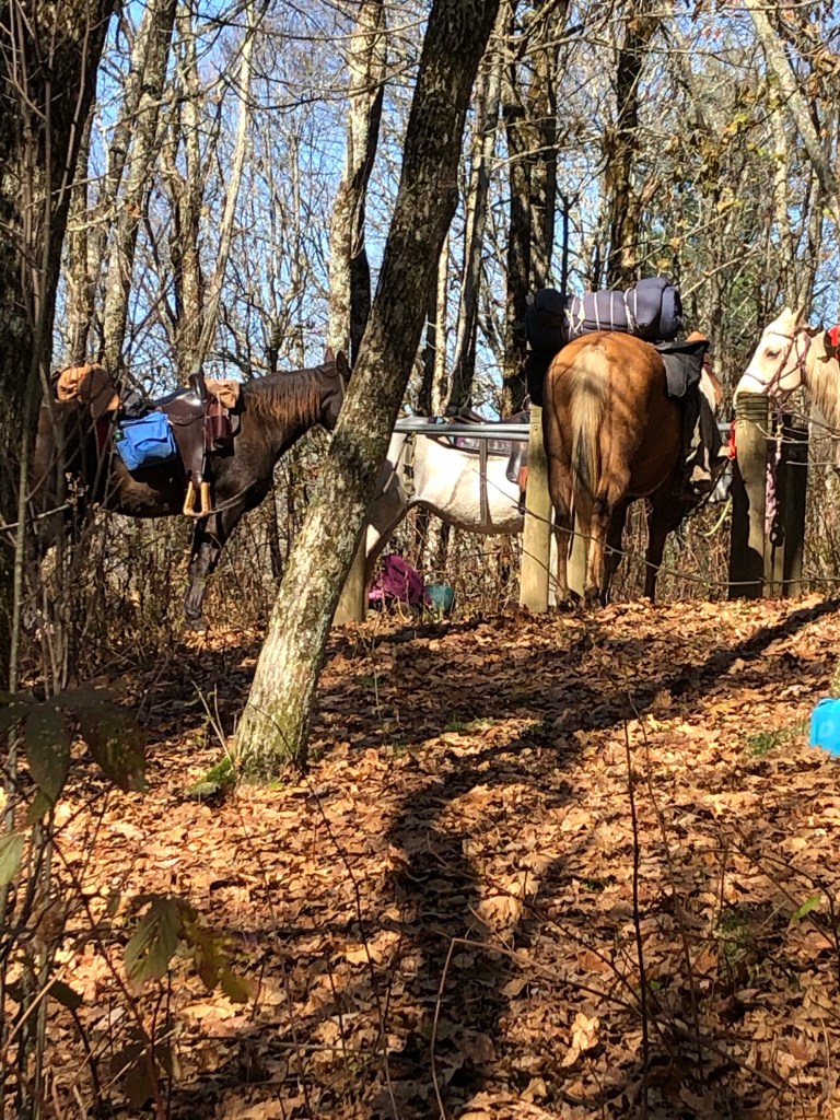
When I was in Erwin, TN, last March, a guy by the name of Doug provided rides for me, so I once again decided to use his shuttle services. I appreciated him going out of his way to assist me in procuring some freeze-dried food and alcohol fuel, because the local outfitter, from whom one would normally purchase such supplies, was closed. During this resupply, I also had to take additional time to get a permit for back country camping in the Great Smoky Mountains National Park (GSMNP). This is usually done on their web page, but it required a phone call this time around since their site wasn’t functioning properly. After getting properly provisioned and rested, Doug and I made the 90 minute drive to Davenport Gap, the eastern (northern via the AT) entrance of the GSMNP.
If you look at a map, some of you may notice that I skipped the section of the AT from Erwin to Davenport Gap. That is because I did that section back in March, when I was heading north, after having to skip around the GSMNP.
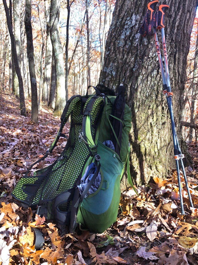
Since I didn’t want to take the time to get off the trail to do another resupply in Gatlinburg, I took the unusual step of purchasing and carrying eight days of food in my pack; enough for me to complete my trip. This is noteworthy because when given the choice, AT hikers usually carry only 3-5 days’ stash of food, which weighs approximately 5-8 pounds. So for the first three days, I noticed the additional weight I had chosen to carry; my pack now weighed about 35 pounds, which is about six pounds more than I prefer.
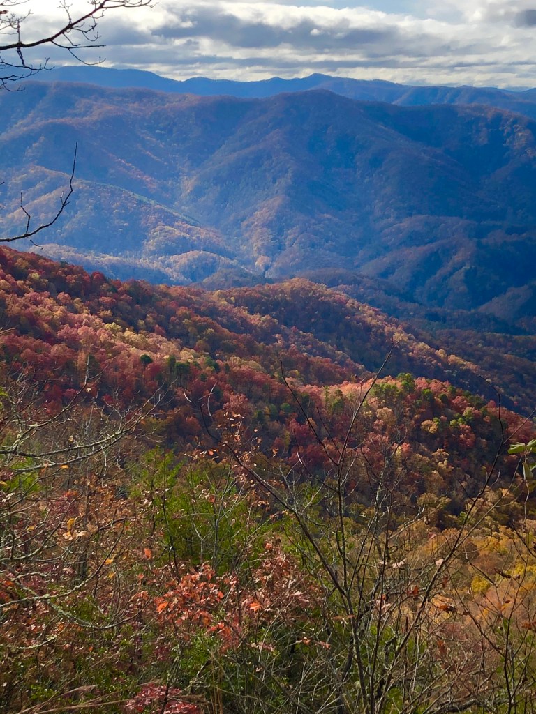
The GSMNP has more of everything: people, rainfall, elevation, trails. The AT reaches its highest elevation as it crests Clingman’s Dome, at 6643 feet. Nearby stands Mount Mitchell at 6684 feet, the highest peak east of the Mississippi. I found the spruce forests around Clingman’s Dome kind of dreary, because the trees grow so closely together that the sunlight can’t penetrate. And due to the amount of rainfall, the forest floor and every tree standing and lying, was covered in a thick layer of moss.
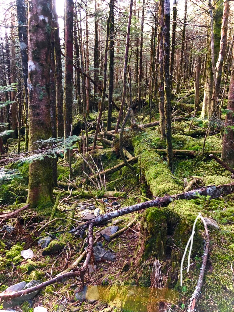
The mountain peaks in the GSMNP receive up to 85 inches of rainfall per year, which means that it is considered a temperate rainforest. That comes out to an average of about 1.25 inches per week. Many thru hikers who travel through the park in March or April find that hiking the AT is more like wading through a stream bed.
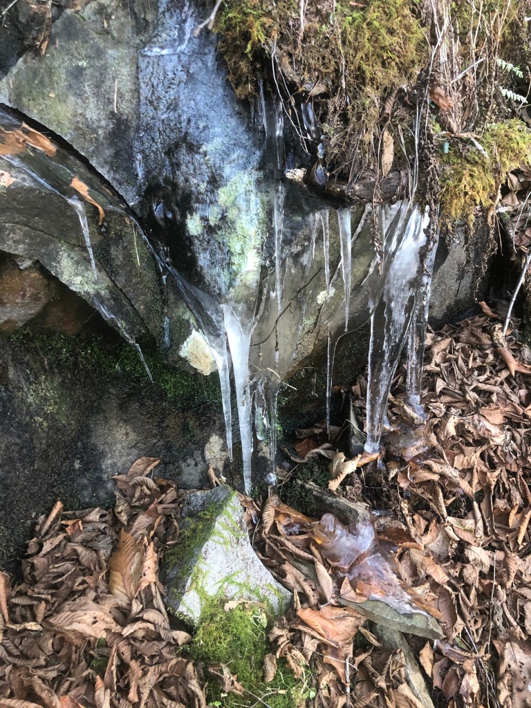
Armed with this information, I steeled myself against what Mother Nature may have in store for me. And once again, my expectations were totally wrong; there was not a cloud in the sky for the next seven days. Now, while that meant dry weather, it also meant cool weather. For the first three day in the Smokies, the nightime temperatures were in the 20s with daytime highs in the low 50s. I would start the day hiking wearing a base layer and a light mid-layer on top, with my pant legs zipped onto my hiking shorts. As soon as the sun was up and I was on the south side of the ridge, I would take a break to remove my pant legs, gloves, and mid-layer. Within a few minutes of removing some clothing layers, I would regret doing so because I would follow the trail around some bend and find myself on the north side of the mountain where the temperatures felt like they were thirty degrees colder!
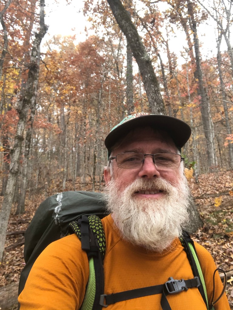
With over 12.5 million visitors in 2019, the GSMNP is the most visited national park in the country. Each evening I got to meet a handful of those visiting the backcountry as I set up camp at one of the trail shelters. The cool evenings and early nightfall encouraged us to build a campfire each evening for warmth. An inviting campfire draws tired hikers the way fresh poop attracts flies. Fireside conversation is always enjoyable as people get to know one another and trade war stories. One evening I met Hawk, who was completing his fifth AT thru hike. Another evening found me sharing s’mores from three guys who were on their first backpacking trip. I spent a couple days with Flashlight, a previous thru hiker who was presently hiking the southern half of the trail again. I enjoyed hiking with him and was glad that I was able to assist him in finding a ride from Newfound Gap to Gatlinburg, where he had reservations at a hostel for a zero day.
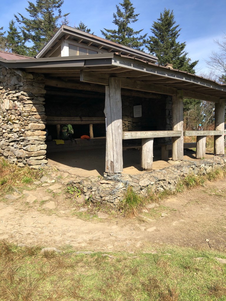
The backcountry rules for the GSMNP do not allow hikers to set up camp adjacent to the shelters; you must stay inside them. Last winter I was stressing out because of this. I remembered the trip Dave Tucker and I made to the Smokies 40 years ago and how we didn’t get much sleep because of the old guy who was snoring next to us. Now, I am that old guy, and who would want to sleep next to me and why should we be packed into a shelter when the rest of the world is trying to physically distance from each other to avoid spreading COVID19? You can imagine my relief to learn that the park service wisely reconsidered their backcountry camping policy and now permits and encourages hikers to camp outside the shelters.
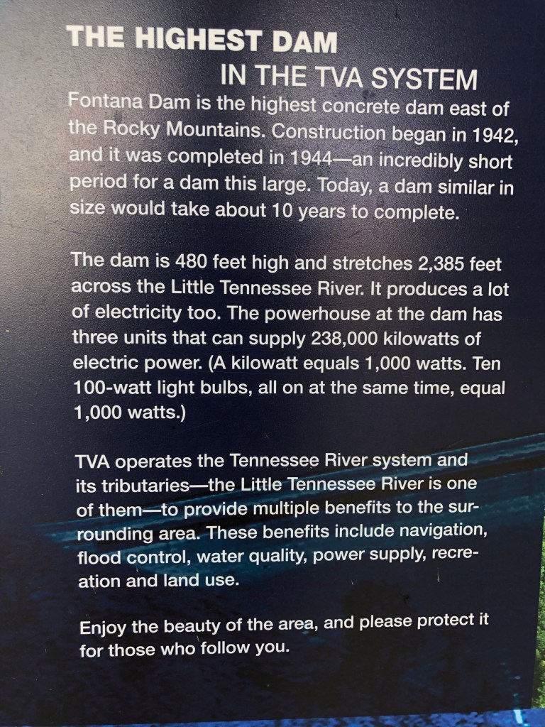
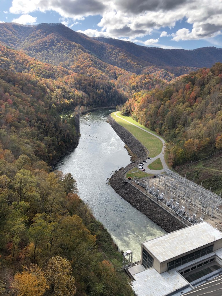
After spending five nights in the park, I descended the southwestern slope of the Smokies to exit the park, and was pleasantly surprised to find that the Little Tennessee River valley seemed to have its own micro-climate. The temperatures warmed and there were still orange and red leaves on the trees. This valley is dominated by the 480 foot high Fontana Dam, the tallest dam in the East. In addition to hydro-power, this impoundment also provides lots of boating, camping, and picnicking opportunities. Next to this lake is what AT hikers know as the Fontana Hilton. Its amenities include a solar phone charging station and a heated bathroom with hot showers. Its proximity to a parking area also makes this a popular shelter. But the night I stayed there, I had the place to myself. Go figure!

On the final two days of my journey I hiked thirty miles from the Fontana Hilton to the Nantahala Outdoor Center. The NOC is where I had to leave Graham County in March, because officials were closing it to all non-residents. I only had ten miles to hike on the last day and those miles seemed to go by very slowly. But since I started my hike an hour before daylight, I arrived at the NOC by noon, had a celebratory pizza for lunch, and got a shuttle to Franklin, NC.
This is the end of my hike for the year. I still have 400 miles of the AT through NH and ME to complete. I would like to think that I will complete that section next year, but I don’t know if that is financially possible; we’ll see what happens. For now, I’m content with my accomplishment of hiking 1800 miles, 80% of the AT.
Thanks for following and supporting my journey.

Looks like you’ve been participating in No-Shave-November, since before November. I’m sure that helped keep you warm, as well as being ‘what you do’ when hiking the AT. So glad you’ve completed your trek for this year, safely, and we look forward to your final leg, hopefully next year. I’m sure Anita will be happy to have you home. Give her a hug for me. 🙂
LikeLike
Congratulations on completing 80% of the AT. It has been an amazing opportunity and experience!! We will miss your blogs; you have a great way of making us feel like we were nearby, watching from a distance. Enjoy being back to comfortable beds, indoor plumbing, with hot water and heat!! We are sure your family and especially Anita will be glad you are back home. We will look forward to the reports of the last 20% when they occur. God bless you !!
Deb and Steve
LikeLike
Congratulations on making it so far on the AT this year. What a year it has been, right? So proud of you Ken and thank you for sharing your journey with all of us. You da man!!
Bryan
LikeLike
Congratulations, Ken! And the ‘story’ is just getting warmed up; looking forward to some good conversations and, hopefully, more writings. Perhaps you will share more priceless quotes like this:))….
“An inviting campfire draws tired hikers the way fresh poop attracts flies”
Bill
LikeLike